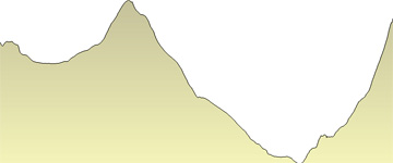
Another big day, with almost 1200 meters of climbing split between two sections. The first is on our climb up to the Col de l'Evêque, which we reach with a long but gentle glacier ascent. With an early start, we should arrive at the Col in time to greet the morning sun. We then have a moderately long descent of the Haute Glacier d'Arolla, mostly fairly easy but with one steeper step at about 3200 meters.
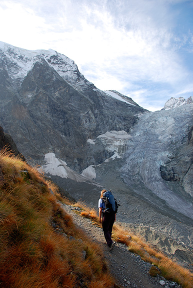
From the glacier terminus, we continue down another 2 kilometers of gentle but occasionally rocky trail to a fork at about 2510 meters. Our second climb of the day starts here, from the Plans de Bertol up to the hut. This is a big 800 meter climb, with
little of it on glaciers. However it poses challenges of its own!
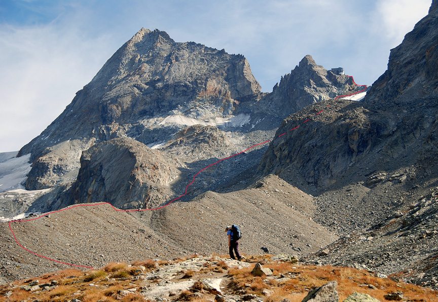
Looking
up, we can now see our goal, the Bertol hut on its audacious perch
high above. Our trail soon peters out among morainal boulders, glacier-polished
slabs and half-buried ice remnants of the nearly extinct Bertol
Glacier. The going gets tougher as we clamber up boulders and progressively
steeper snow. One brief section of ladders helps us surmount a short
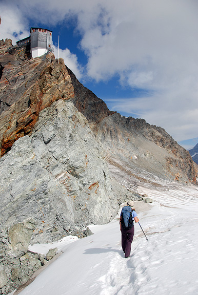
section of rocky cliffs. A last push up fairly steep snow brings
us at last to the Col de Bertol. Now its just a few short minutes
of steep ladders to the hut.
This
day's effort is rewarded by entirely new vistas. The Bertol hut
overlooks an immense glacier plateau to the east feeding the Mont
Miné and Ferpècle glaciers. Across this plateau the
Dent Blanche dominates the view. The upper half of the Matterhorn
peaks over the top of the snows, tantalizingly close now.
|


