| Haute Route Glacier Trek - Day 3 Day to day description, map and photos |
 |
Day 3 - Chanrion hut to Dix hut
|
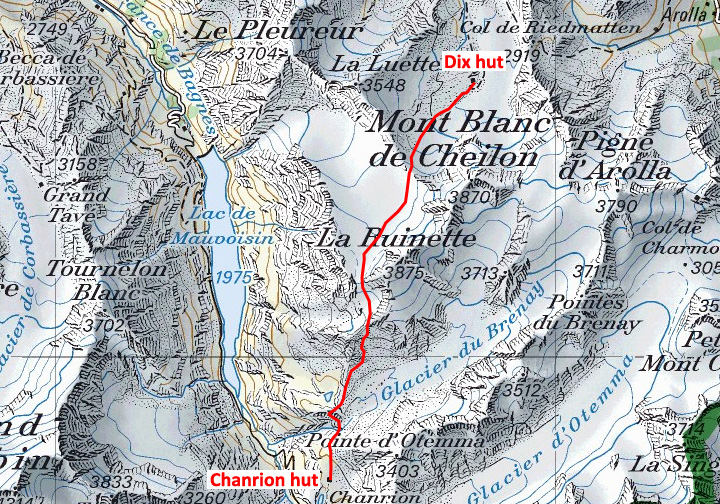
On Day 3 we have three passes to cross as we make our way from the Chanrion to the Dix hut. We begin by retracing our previous day's steps for a short way, to reach the small Col de Tsofeiret, only about 1.5 km from the Chanrion hut. From there we climb steadily up on rough trails to the Col de Lire Rose. We traverse across scree into a high bowl below the southwest ridge of La Ruinette, to climb finally and steeply to the Col du Mont Rouge. At 3326 meters, this is the high point of the day. From the Col du Mont Rouge, we cross the gentle upper basin of the Glacier de Giétro to the Col de Cheilon, on its far side. From here, we descend to the Dix hut, at first on a moderately steep glacial slope, then on trails which lead to the hut. |
 |
This photo shows part of Day 3, from the Col du Mont Rouge to almost the Dix hut. The photo was taken from near the summit of La Luette 3540 meters. Roll your mouse over the image to see more info. |
 |
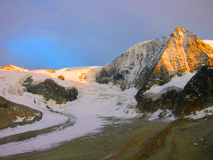
| Mont Blanc du Cheilon and the Glacier de Cheilon from the Dix hut. The route on Day 4 to the Vignettes hut climbs this glacier up and out of view to the left. |
Day 3 - Chanrion hut to Dix hut |
||
 |
||
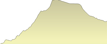
total vertical gain |
905 m |
2968 ft |
total vertical loss |
439 m |
1440 ft |
max elevation |
3326 m |
10,909 ft |
minimum elevation |
2522 m |
8272 ft |
distance |
9.3 km |
5.8 miles |
 |
| The trekking route crosses three passes on the way to the Dix hut. |
 |
| The Chanrion hut. This photo was taken in the late spring, when some folks were still in their ski gear. |
All images, layout and text © 2012 Cosley & Houston Alpine Guides, All Rights Reserved