| Haute Route Glacier Trek - Day 1 Day to day description, map and photos |
Day 1 - Chamonix to the Orny hut
|

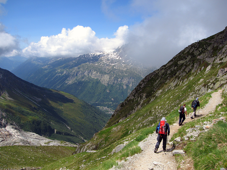 |
| On the trail up to the Albert Premier hut. These hikers are heading back down to the valley. |
 |
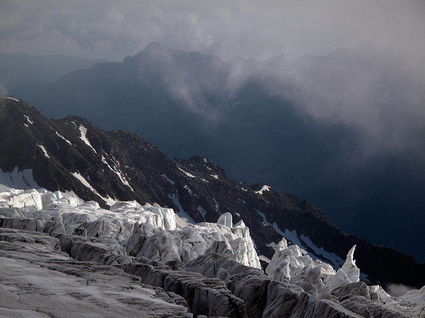
| The trail up to the hut climbs beside the Glacier du Tour. The Aiguille du Chardonnet is a dominating presence. |
 |
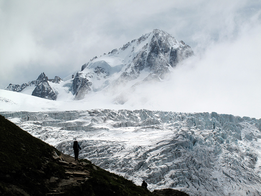
| Séracs at the edge of the Glacier du Tour. The peaks of the Aiguille Rouges behind are across the Chamonix Valley. |
Day 1 - Col de Balme to Orny hut |
||
 |
||
total vertical gain |
1095 m |
3592 ft |
total vertical loss |
462 m |
1515 ft |
max elevation |
3288 m |
10,785 ft |
minimum elevation |
2193 m |
7193 ft |
distance |
10.9 km |
6.8 miles |
 |
| The violet line shows the bus ride from Chamonix to Le Tour and the chairlift to the Col de Balme at 2193 meters. The red line is the trekking route to the Orny hut, 2826 meters. |
 |
| Walking across the Plateau du Trient. The Aiguilles Dorées form the saw-tooth ridge behind. The Grand Combin is the big peak in the background on the far left. |
 |
| Crossing the Plateau du Trient. In this view we are looking west back towards the Col Supérieur du Tour and the Franco-Swiss border. You can just make out the faint track in the snow leading to the Col. The Aiguille du Tour is the prominent peak on the right. |
All images, layout and text © 2012 Cosley & Houston Alpine Guides, All Rights Reserved