Haute Route Glacier Trek - Day 4
Day to day description, map and photos

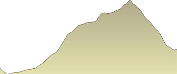
Day 4 - Dix hut to Vignettes hut

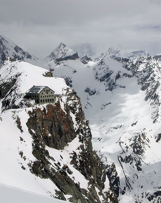
The Vignettes hut. This photo was taken in April, on one of our Haute Route ski tours. In summer there would be considerably less snow, though no less spectacular.

Another early start and another long day. Though the distance covered is not great, only about 8 km (5 miles), the vertical elevation gain is considerable, and at high altitude. But the rugged glaciated peaks to either side of us keep us rubber-necking all the way.

This section of the route crosses one of the Haute Route's key difficulties, the Serpentine on the Pigne d'Arolla. This slope can be a bit steep and icy, and we occasionally have to belay short sections.

After the Serpentine, we have easy, but continuous glacier slopes that lead to the summit of the Pigne d'Arolla, the highest point on the Haute Route at 3790 meters (12,431 feet). The 360 degree view from this summit gives us a "who's who" of Alpine 4000 meter summits.


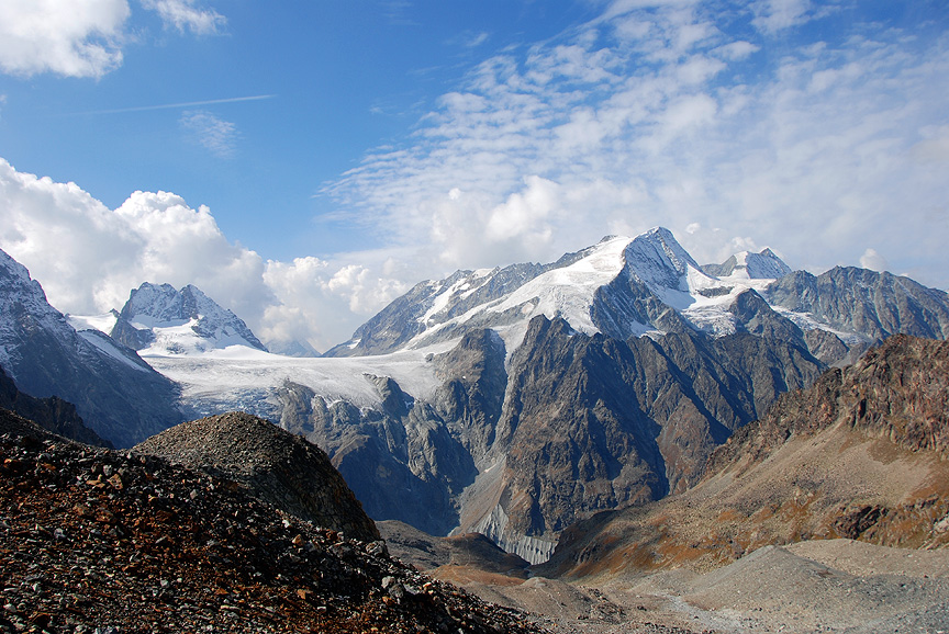
This view is from the hike up to the Bertol hut (Day 5) looking west. The route from the Dix hut comes over the Pigne d'Arolla from the other side, the descends down to the Vignettes hut. From the Vignettes hut, on Day 5, we cross the Col de Charmotane, then climb out of view to the left, up and over the Col de l'Evêque.

Mouse over the image for labels.


Day 4 - Dix hut to Vignettes hut
total vertical gain
970 m
3182 ft
total vertical loss
738 m
2421 ft
max elevation
3790 m
12,431 ft
minimum elevation
2820 m
9250 ft
distance
7.7 km
4.8 miles


Continue on to Day 5.....