

 |
 |
Grant Carnie in the Mischabel peaks, Switzerland • July 17 - 21, 2016
Grant Carnie once again ventured into the Alps to enjoy a week's mountain adventures. On this trip, however, the climbing was somewhat more similar to the Canadian mountains of his youth – long approaches, minimal use of lifts, and even a taste of bad rock. We spent 5 days wandering in the Mischabel chain of peaks, the high ridge which separates the Mattertal (of Zermatt fame) and the Saas valley to the east. |
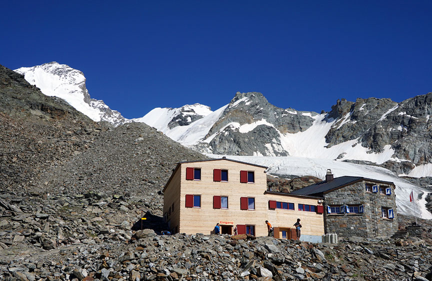
Day one, hike up 1530 meters (some 5000 feet) of steep trail to the Dom hut. The summit of Dom, upper left, was our objective. |

The sun finally comes up on the Festigrat. |
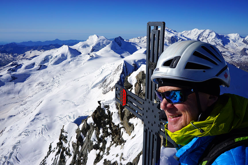
8:30 in the morning, on the summit of Dom – five and a half hours and 1605 meters later (5265 feet). |
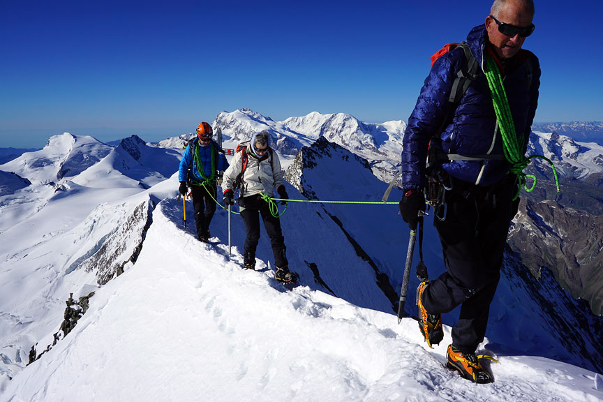
Another team on the summit. |

We descended the normal route on the Hobärggletscher, passing another team on their way up. |
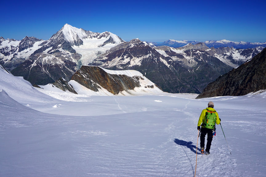
It is a long way down. Weisshorn dominates the background. |

Looking back up the Festigrat as we pass below and cross the Festijoch. |

A bit of rather bad rock to downclimb as we descend from the Festijoch. |
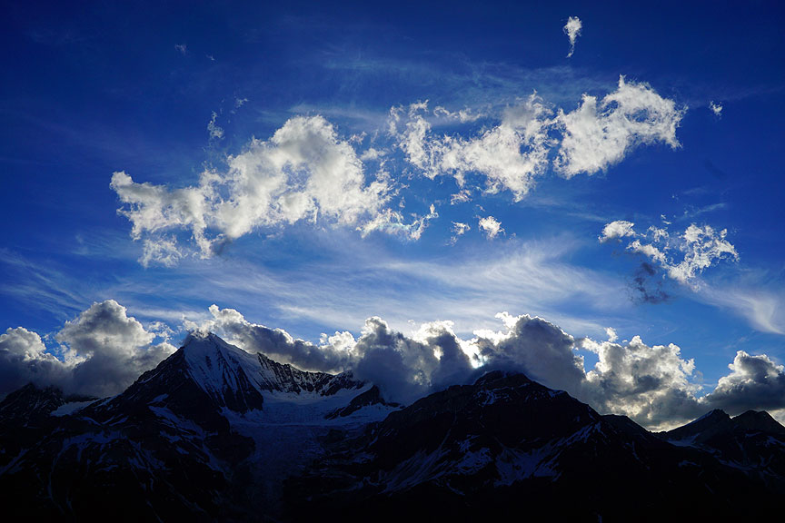
Evening clouds from the Dom hut. |

Rather tired, we took the late 7:30 am breakfast at the Don hut before setting out for the long walk to the Bordier hut, our goal for the day. |
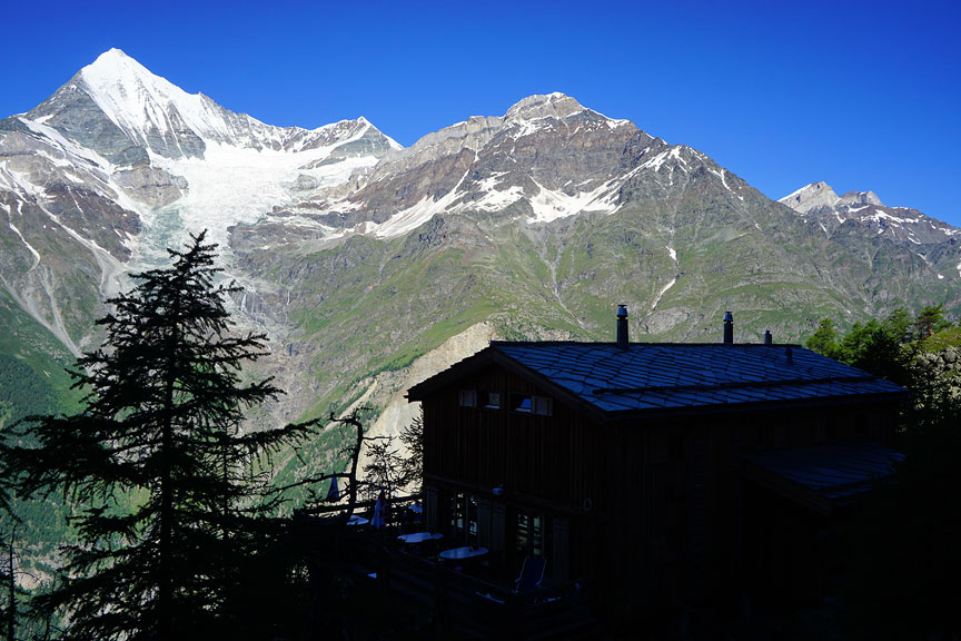
An hour and a half into our walk, we pass the Europa hut, just waking up, it seems. |

The route from the Dom hut to the Bordier hut traverses the trail known as the Europaweg. It is a spectacular walk and an amazing example of trail building. Unfortunately, the path traverses some very unstable terrain, and there were several sections where the trail was damaged and difficult to follow. A good walk for mountaineers, but not for a comfortable family outing. |
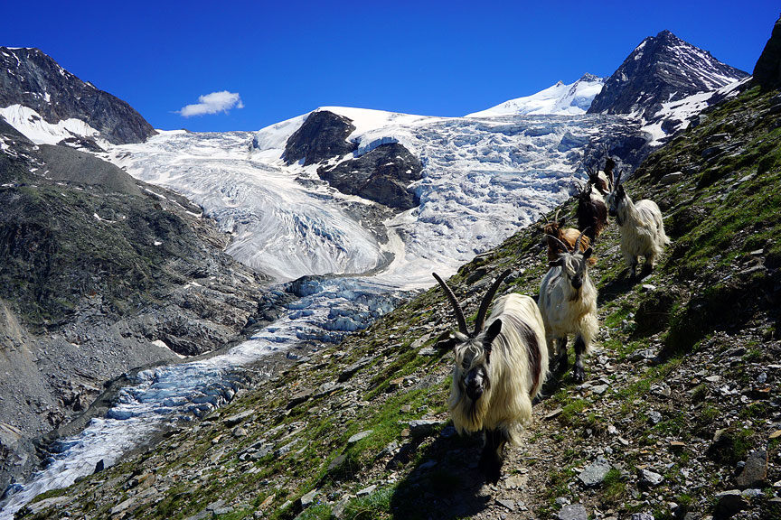
We encountered a troupe of goats as we near the Riedgletscher. The Bordier hut, though impossible to pick out in this photo, is at the very left edge of the image, on a rocky shelf. |
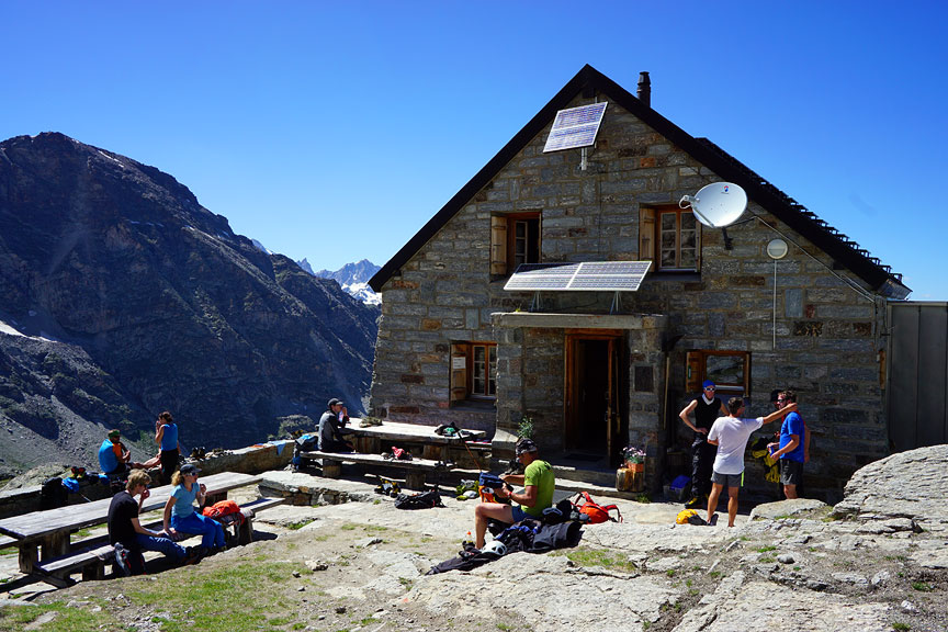
Finally, after some 8 hours walking, we arrive at the friendly and comfortable Bordier hut. |
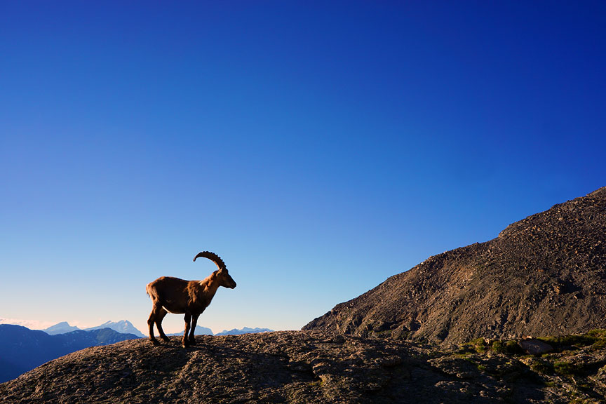
The "locals" came by in the evening to check out the scene. |

2:00 am breakfast, we are out the door by 2:40. Heading for the Nadelgrat. |

The usual approach to the Nadelgrat is up the snow/rock couloir which leads to the Dirrujoch. However, the recent warm weather had made this route prone to stonefall. The Selle couloir became the route of choice. This is a steep and long snow gully climbing over 300 meters to the gap of the Selle in the NNW ridge of the Dirruhorn. We are almost to the top as the sun clears the horizon. |

Working along the NNW ridge of the Dirruhorn. |
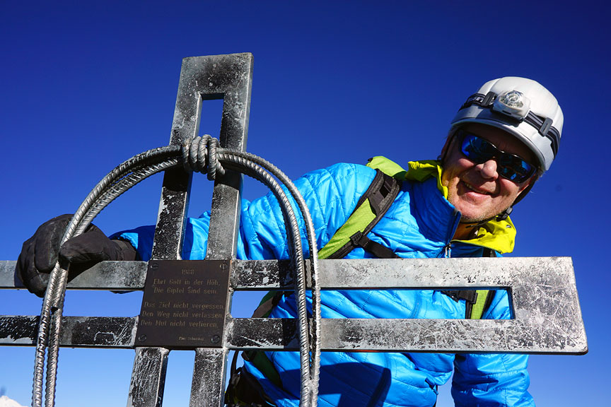
7:45 in the morning, on the summit of the Dirruhorn, our first 4000er of the day. |

We have just traversed the summit of the Hobärghorn (our second 4000er) and are now descending the easy snow to the gap between the Stecknadelhorn and the Hobärghorn. |
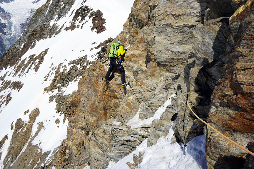
Lots of sideways traversing on the Stecknadelhorn. |

On the summit of the Stecknadelhorn. |
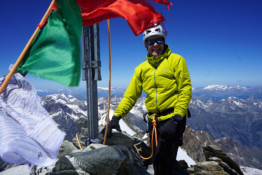
Finally, the summit of the Nadelhorn proper. |

Another party following the steep icy traverse from the Stecknadelhorn to the Nadelhorn normal route. |

A few hours later, we arrive, rather tired, at the Mischabel hut. |
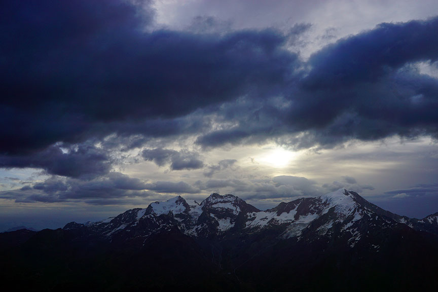
We had toyed with the idea of climbing the Lenzspitze from the Mischabel hut the next day,. But sore toes, and poor weather laid such crazy plans to rest. This is the view to the east the following morning. Left to right are the Fletschhorn, the Lagginhorn, and the Weissmies. |

Another long descent to Hannig from the Mischabel hut. |

The unstable weather continued, putting an end to our climbing on this trip. But the perfect conditions on the Dom and Nadelgrat gave us classic Alps mountaineering, as well as a few more 4000 meter summits. |
All images, layout and text ©2016 Cosley & Houston Alpine Guides, All Rights Reserved
Your Comments - more info |
| comments powered by Disqus |