The
climax of the trip, this challenging day takes us over three high cols,
and rewards us with the long, pleasant slopes below the Matterhorn and
down into Zermatt. We begin our day early in the cold dawn, but finish
in the warm late afternoon skiing spring snow in the trees above Zermatt.
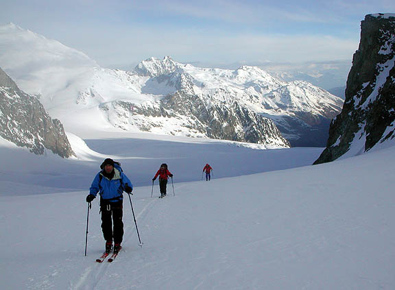
Our first
pass, the Col de l'Evêque is an easy ski up the broad and gentle
Mont Collon Glacier. From the col normally good snow is skied down until
a small icefall forces us right and then down to the next bench of the
glacier. More superb skiing leads down to the Arolla Glacier. Our next
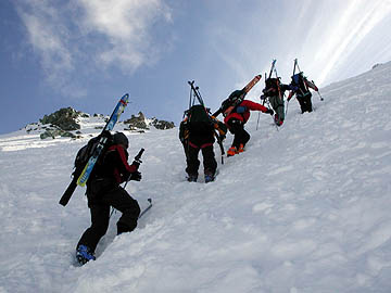
col, the Col du Mont Brulé is steep and often windblown, and depending
on conditions we may elect to ascend it on foot.
After the
Col du Mont Brulé comes one of the most isolated parts of the Haute
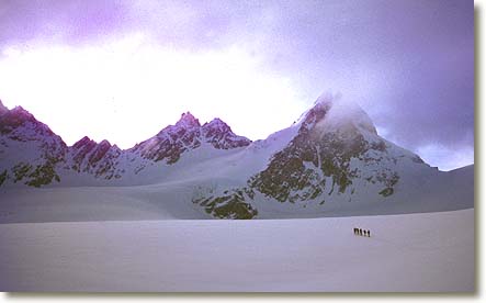
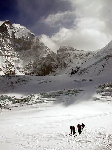
Route. We traverse the Haut Tsa de Tsan Glacier, a high glacial bench
on the Italian side of the ridge. Below us, the glacier flows south into
a wild and deep canyon, seemingly inaccessible. A long and gentle ascent
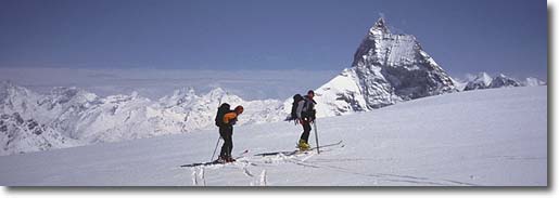
leads us to our last pass, the Col de Valpelline. As we arrive at the
Col the amazingly sharp summit of the Matterhorn appears. Our run down
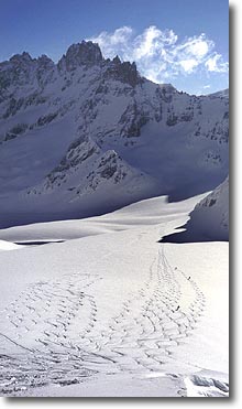
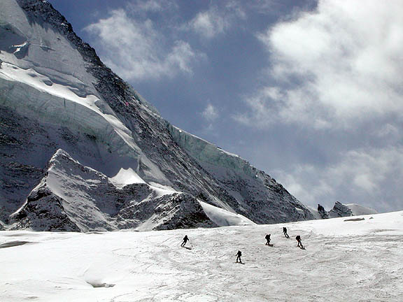
the Stockji Glacier is tremendously varied and normally begins with dry
winter snow, warming to spring corn as we descend. The route is complex
as it weaves through crevasses, around the rocks of the Stockji itself
and onto the lower Zmutt Glacier. The changing views of the Matterhorn
on this long descent are memorable.
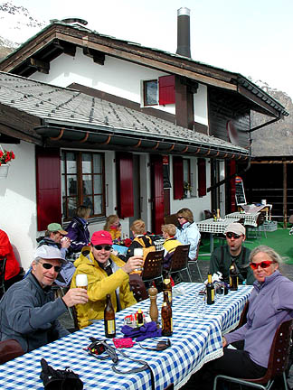
Finally,
we reach Stafelalp, a welcome restaurant at the edge of the vast on-piste
ski complex on the Zermatt side of the Matterhorn. After a welcome beer
we weave our way down the easy ski run to Furi, just above Zermatt. If
there is still enough snow on the ground we can ski all the way into town.
If not, we jump on the lift for the quick ride to civilization. Then it's
a hot shower and a good Swiss meal (along with the obligatory Dôle
wine from the upper Rhône valley) to celebrate our trip.
Day 7 - Cabane des Vignettes to Zermatt
|
Ascent |
1134 meters |
3720 feet |
Descent |
2694 meters |
8836 feet |
|

