| Haute Route Glacier Trek - Day 7 Day to day description, map and photos |
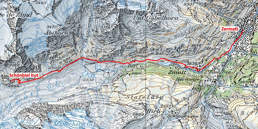
Day 7 - Schönbiel hut to Zermatt
|
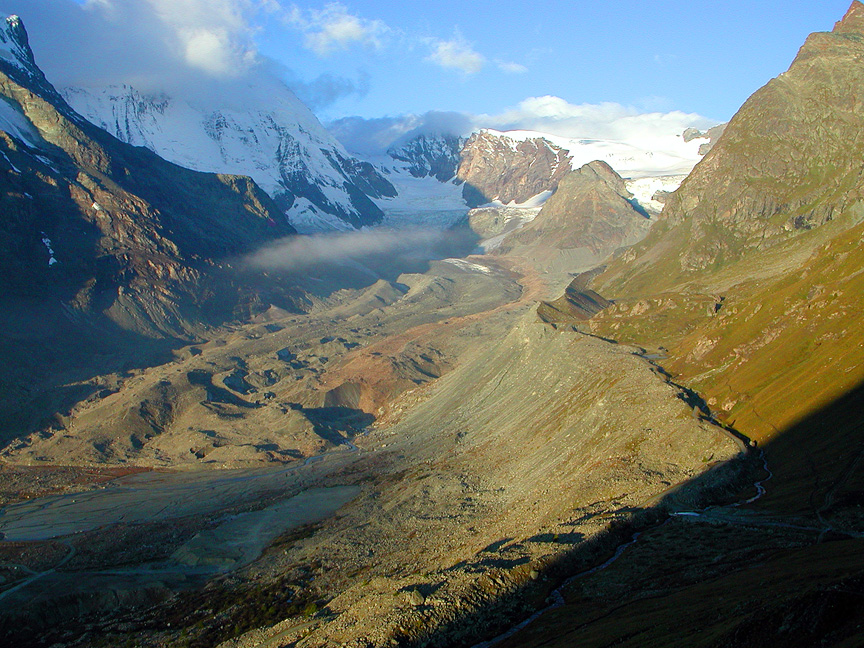 |
| Looking up the Zmutt Glacier towards the Col de la Tête Blanche, under cloud on the right. The Matterhorn is just out of view to the left, and the Dent d'Hérens is mostly under cloud, also on the left. If you were to follows the lateral moraine just right of center, you would arrive at the Schönbiel hut. |
Day 7 - Schönbiel hut to Zermatt |
||
 |
||
total vertical gain |
0 m |
0 ft |
total vertical loss |
1080 m |
3542 ft |
max elevation |
2694 m |
8836 ft |
minimum elevation |
1614 m |
5294 ft |
distance |
10.9 km |
6.8 miles |
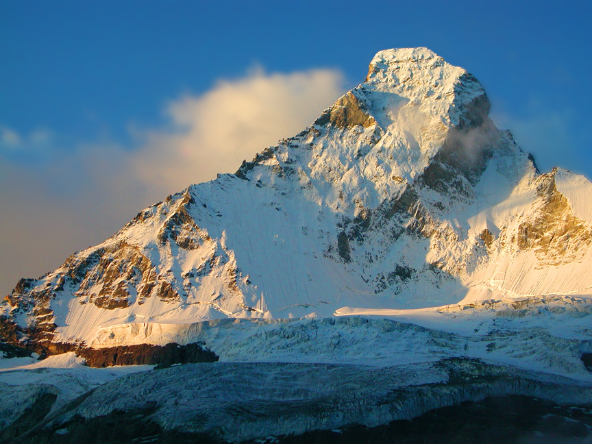 |
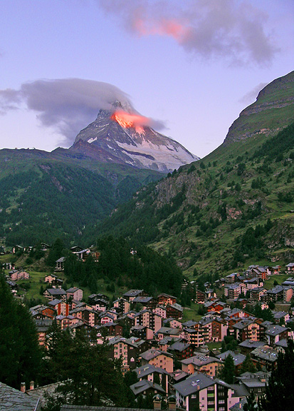
| The North Face of the Matterhorn. This photo was taken at sunrise from a point just a bit above the trail between Zmutt and the Schönbiel hut. The normal route on the peak is the Hörnli ridge, the left skyline. The Zmuttgrat is the ridge on the right side. |
Return to main Haute Route page
All images, layout and text © 2012 Cosley & Houston Alpine Guides, All Rights Reserved