

 |
 |
Mihai Novak on Mont Blanc • September 4 - 5, 2010
Mihai Novak, originally from Romania but now a Denver resident of many years, made a speedy ascent of the "Trois Monts" (Traverse) of Mont Blanc. On the first of two quick days, he and Mark climbed the Arete des Cosmiques. They spent the night in the Cosmiques hut, then dashed up Mont Blanc, descending the Gouter route. |
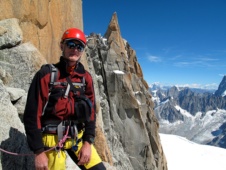
Mihai on the Arete des Cosmiques. We had a great day with perfect weather and conditions, with the route almost all to ourselves. |
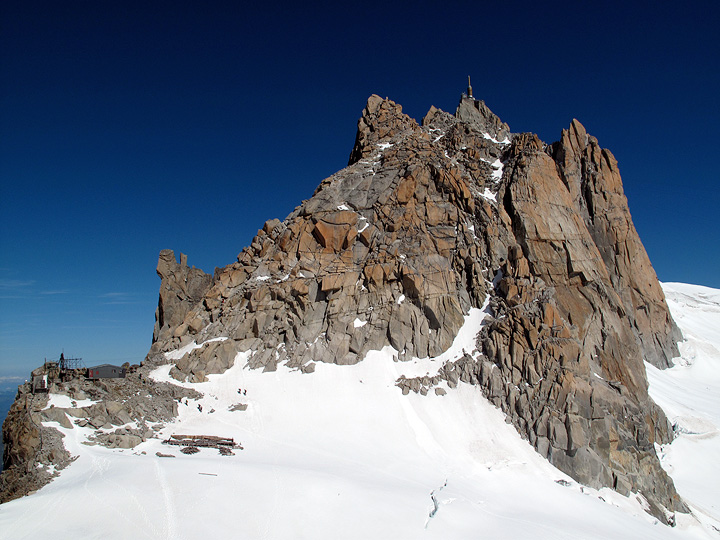
The Arete des Cosmiques from the Cosmiques hut. Most of the route, and all of the technical sections, are hidden from view. Mouse over to see the line. |
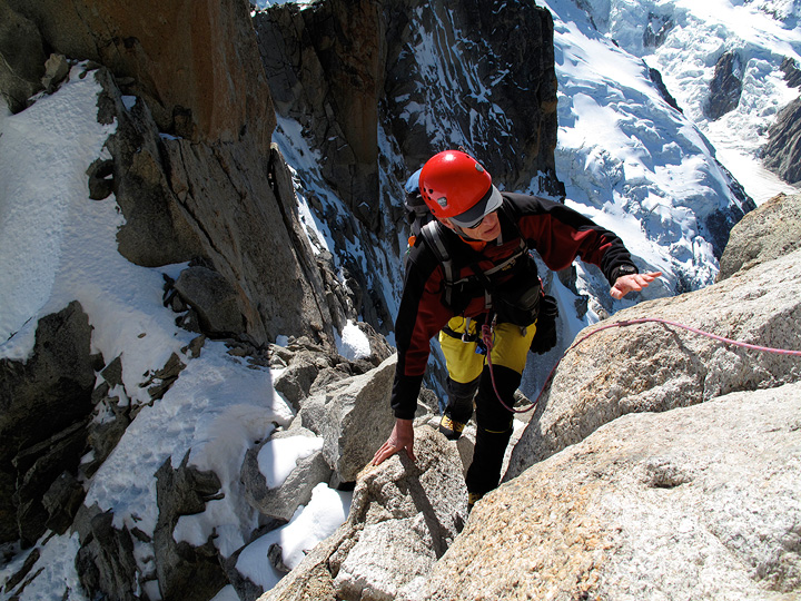
Typical Cosmiques Arete views. |
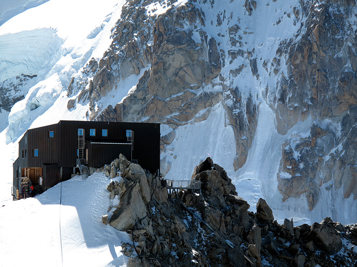
The Cosmiques hut, with the cold north face of Mont Blanc du Tacul behind. |
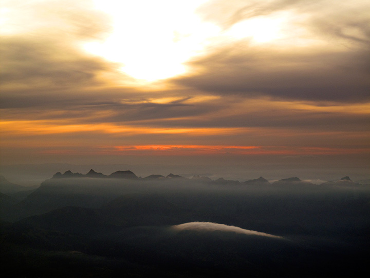
Sunset from the Cosmiques hut. |
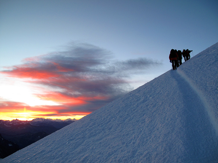
Up at one in the morning for a quick breakfast. We made good time, and had little crowding on the often problematic shoulder of Mont Maudit. Sunrise occurred as we are part way up the final dome of Mont Blanc. |

The view off to the northeast at sunrise. The largest peak in the foreground, slightly right of center, is Mont Dolent, the meeting place of the Franco-Italian-Swiss borders. The group of peaks in the background on the left are the Bernese Oberland. |
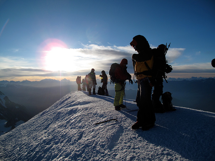
Mont Blanc's summit. |
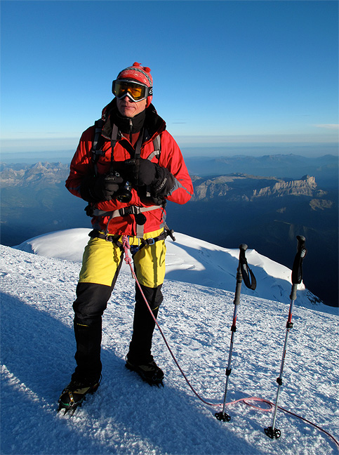
Mihai on the summit. It was a chilly and somewhat windy day, typical for Mont Blanc. |
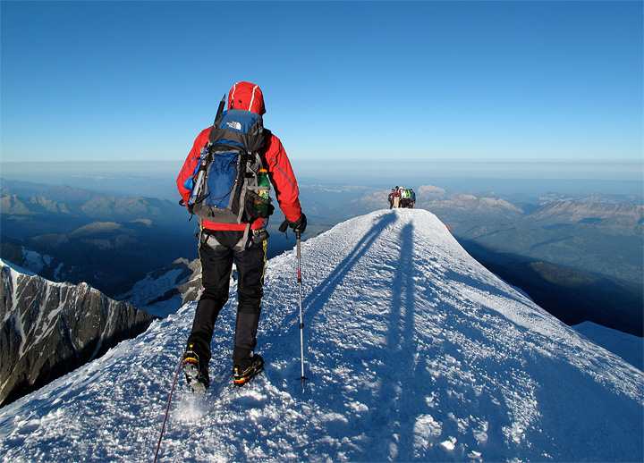
Leaving the summit down the Gouter route. |

Not long after we departed the top, a lenticular could formed over the summit. |
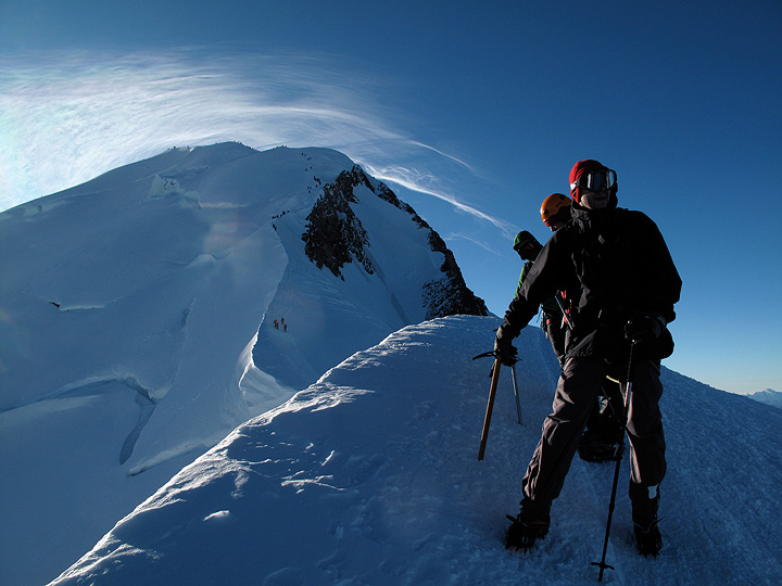
Mont Blanc from just above the Vallot hut. |
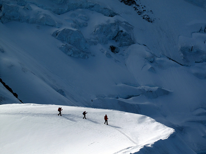
Another party not far above the Gouter hut. |
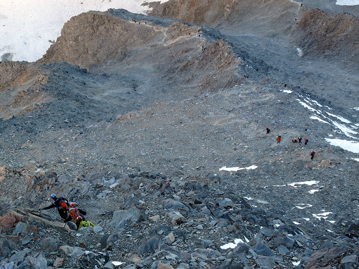
Looking steeply down the route from the railing of the Gouter hut. Mouse over to get some sort of idea as to where the trail goes. |
All images, layout and text ©2010 Cosley & Houston Alpine Guides, All Rights Reserved