

 |
 |
Ski touring in the Queyras, France • January 27-29, 2010
| Back in January we finally took the advice of French friends who have told us for years about this charming and unique corner of the French Alps. |
See our route on Google Earth click on the icon to download |
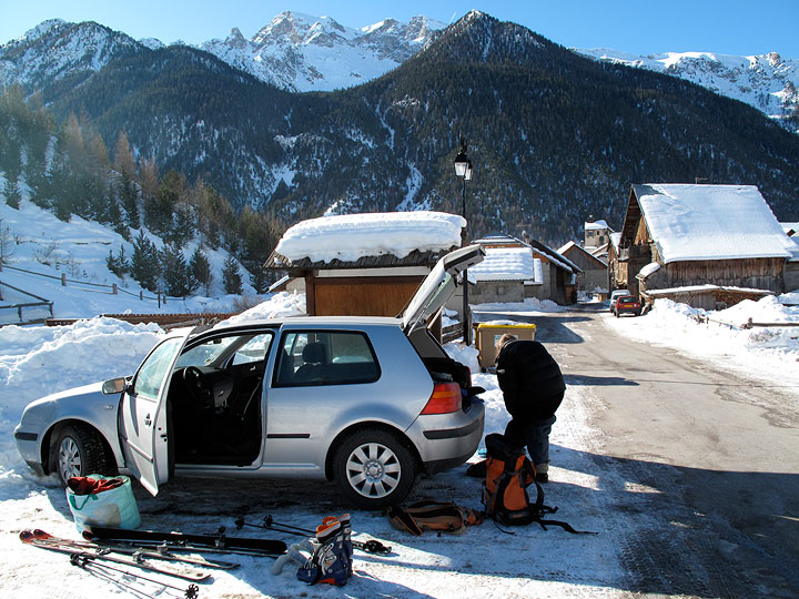
We drove to Ceillac and immediately set off up the hill toward the Col des Estronques. |

We left the valley-bottom trail at the charming (and deserted at this time of year) hamlet of Les Chalmettes. This cluster of houses with its 18th century chapel has been rebuilt repeatedly after several destructive avalances over the past three centuries. |
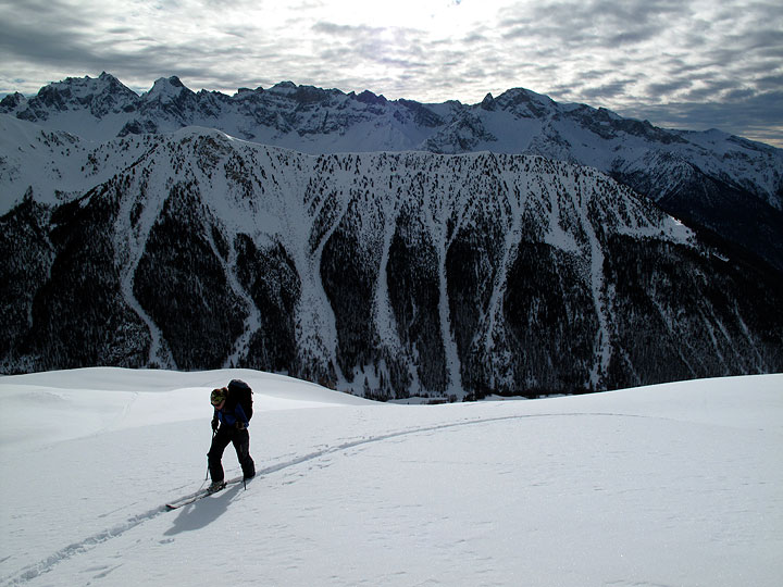
An incoming blanket of cloud chases us as we near the Col. |
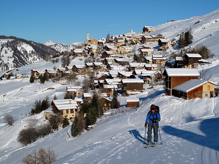
From the Col, we descended a winding side valley to the village of Saint-Véran, at 2042 meters the highest community in Europe. Saint Véran is justly proud of its history and rural traditions. These are still visible in lovingly preserved and restored architecture, and in the living practice of its artisans. We vowed to come back in summer and explore more thoroughly this really unique place. |
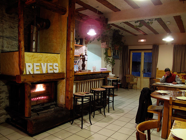
The warm and inviting Gite Les Gabelous was our home for the night in Saint Véran. We had a couple of beers near the fire in the bar/dining room while dinner was being prepared in the adjoining kitchen. A light snowfall started up as night fell outside our cozy room. |
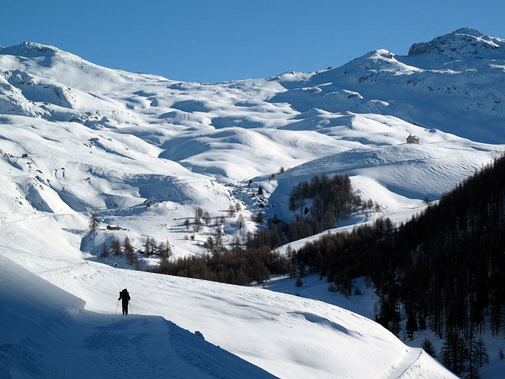
The next morning dawned clear and cold, with a dusting of new snow. We set off up the snow-covered road, toward the Refuge de la Blanche and the Chapelle de Clausis (seen on the right in the distance). The ridge in the background defines the border with Italy. |
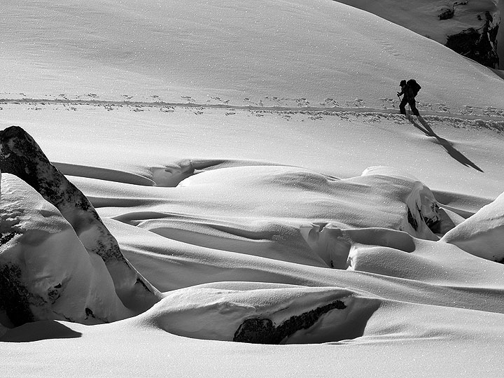
Leaving the road near the chapel, we headed northward and broke a solitary trail toward the Pointe des Sagnes Longues. |
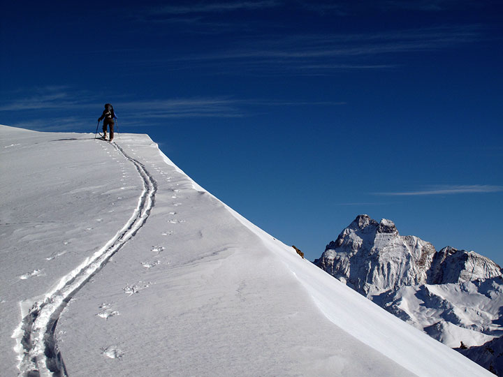
Kathy nears the summit of the Sagnes Longues, with a spectacular view of Monte Viso in Italy. |
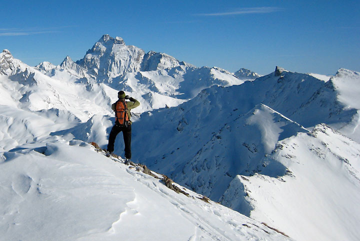
Taking in the view from the Pointe des Sanges Longues, before our descent to the north begins. |
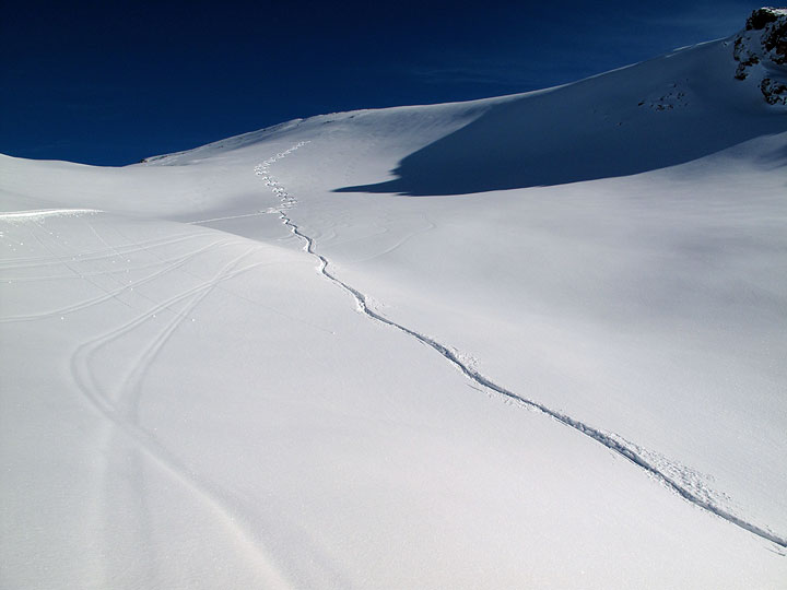
And what a descent it was! Powdery fresh snow of the best, lightest kind from top to bottom of our nearly 800 meter descent. The only other tracks were old ones, nicely buried and sparse; this treat was all to ourselves that day. |
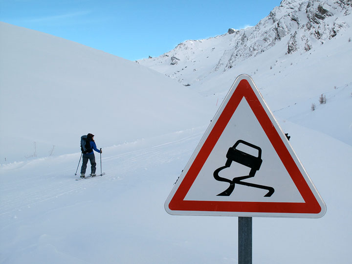
Our day ends with another skin up another road, to the newly-improved Refuge d'Agnel. |
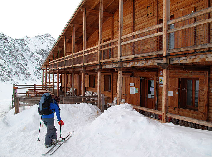
Large and comfortable, the Refuge d'Agnel lies near the headwaters of a river of the same name. The Col d'Agnel above leads southeastward into Italy. |
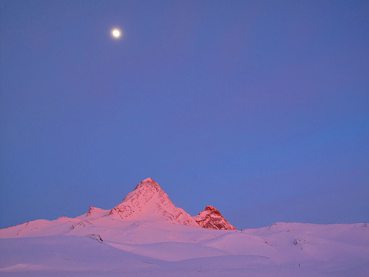
The nearby Pain de Sucre glows in the evening light. This is a popular climbing destination for visitors to the refuge. |
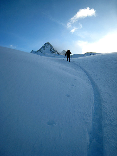
We took off northward in a cold and strengthening wind. |
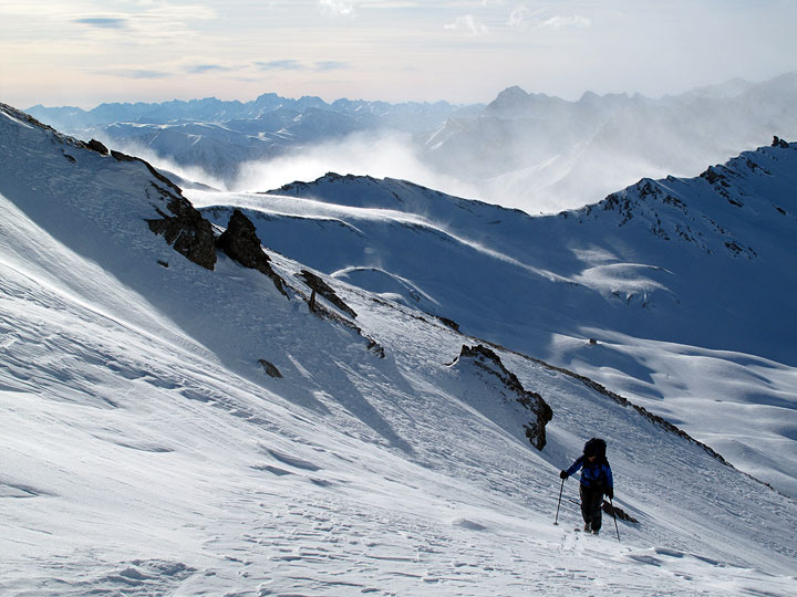
Again blazing our own trail, we skinned up to the Col Vieux. |
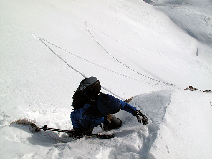
From the Col Vieux we descended slightly northward, and wound our way along a bench system into a small cirque at the head of the Torrent de la Roche Blanche. We climbed out of that over a col at 2827m, quite tricky in the loose and faceted snow over steep rocky steps and frozen turf. Kathy scrambles up hidden rocks here. |

And battles the gusty wind near the crest, too! |
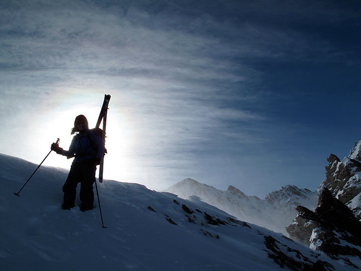
Ooof! Perseverance pays off. |
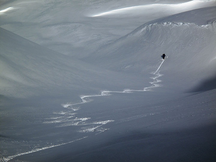
And most gratifyingly, is rewarded by yet ANOTHER untouched powder descent! And a long one, too! A real hidden gem. |
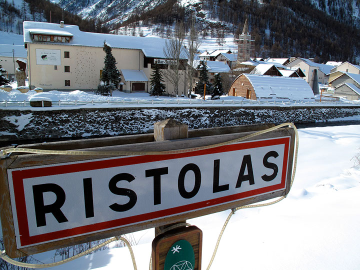
We descended a cascading series of powder-filled bowls, and eventually joined a forest road. Following this, we glided gently through woods above a creek (startling some ibex grazing on snowy cliff bands across the way!) and eventually we came out to the road at the ski village of Ristolas. Here we decided it was time to head back home. Getting back to our car, high up in Ceillac three valleys to the south, looked as if it would prove complicated as there was no bus service. However friendly locals kindly picked us up and helped us on ourway, and three rides later we were back in Ceillac! |
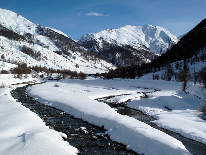
It was a great introduction to a wild and natural part of alpine France, we will definitely be back for a longer visit. |
All images, layout and text ©2010 Cosley & Houston Alpine Guides, All Rights Reserved