

 |
 |
Trekking and climbing in the Langtang, Nepal • October - November, 2009
| After our success on Kyajo Ri in 2006, Matt Scott and Emery Dameron were looking for another Himalayan adventure. After quite a bit of discussion we settled on Urkinmang, a 6151 meter peak in the Langtang area of Nepal. Wanting to include a good trek, as well as a bit of acclimatization, we decided to approach via the classic trek to the Langtang (logically, up the valley) and climb Yala peak (5550 meters) to help us acclimate. To top it off we would exit over Tilman Pass, trekking down towards Kathmandu. But the best laid plans..... In the end we had difficulty even approaching the Urkinmang, and for a variety of reason I'll go into below, we ended up changing our objectives several times. We did indeed do a bit of climbing, first on Yala Peak and then on Naya Kanga, and everyone had a wonderful trek. Here, I'd like to make a plug for the Langtang area in general. This is a great place. As the Khumbu gets increasingly overrun with westerners, the Langtang still remains relatively uncrowded, spectacularly beautiful, and retains a wilderness character hard to equal in the busy Everest area. |
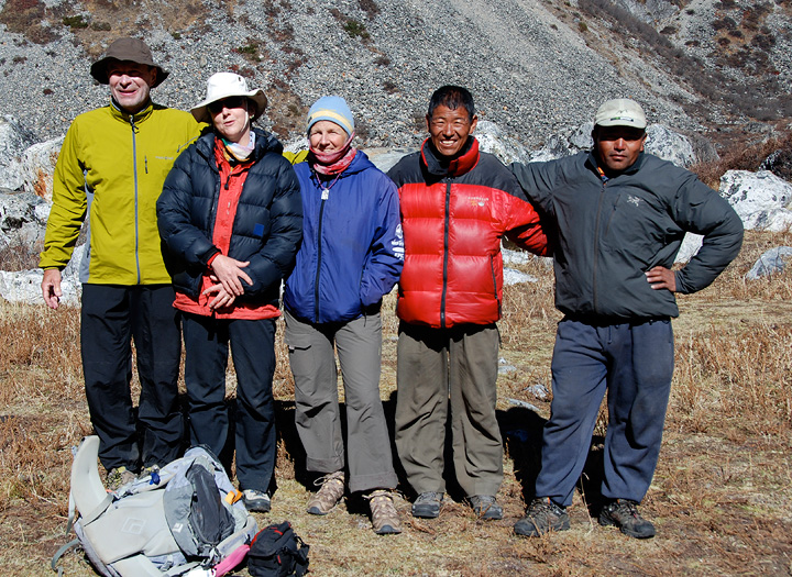
This photo shows some of the characters in our story. On the left is Emery Dameron, inhabitant of many of these pages, and veteran of many adventures. Pamela Bjorkman was a very last-minute addition, replacing her husband Kai, who, unfortunately had to drop out. Because of other scheduling constrains, Pamela had to leave us early, though she did join us as far as (and a bit further) our Yala Peak climb. Pamela has also climbed with us on Kyajo Ri in 2007. Kathy in the center of the photo. Pasang Sherpa was our Sirdar, but also doubles as a great cook. He did a great job in the face of a continually changing program. And on the right, Lakpa, sous-chef and all around nice guy. |
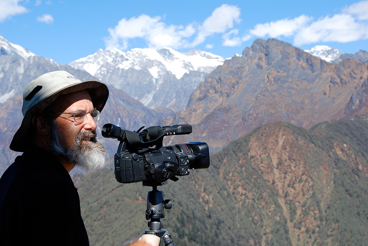
Missing from the above photo is Matt Scott, never far from his camera, and Mark. |
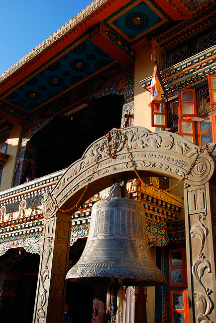
Like many an adventure in Nepal, our trip starts in Kathmandu, where we enjoyed a bit of time to wander the wonders of the city. This is Boudhanath, a major pilgrimage destination for Buddhists. |
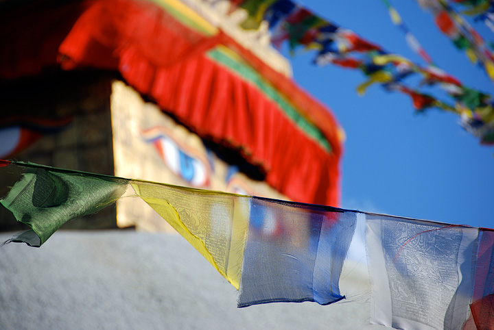
Another shot of prayer flags and the stupa at Boudhanath. |

Boudhanath, again. |
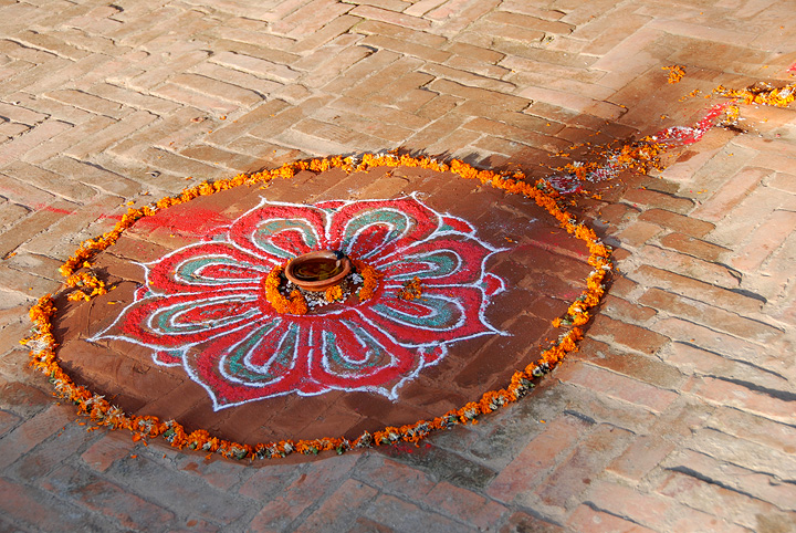
We arrived in Kathmandu in during the last couple days of Tihar, a big national holiday. As part of the festivities, the local, particularly merchants, create these lovely "lures" to bring prosperity into their homes and businesses. |
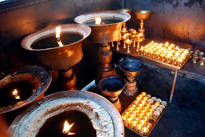
Diyas in the monastery at Boudhanath. |
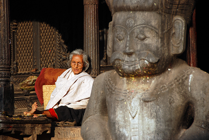
We also had time to visit Bhaktapur, an ancient Newar town not far from Kathmandu. |
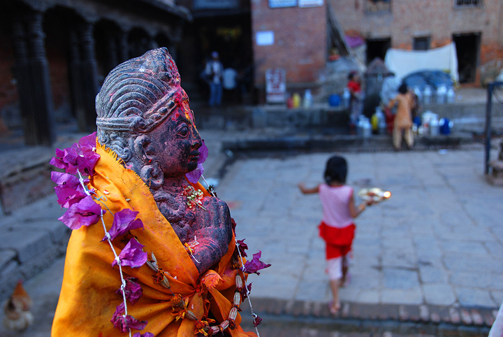
This photo was taken during a wander around Thamel, in Kathmandu. |
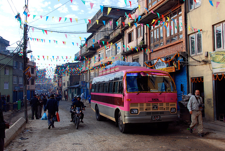
Finally it is time to leave the city and begin our journey. Our big pink bus takes us from downtown Kathmandu, to Dhunche, some rather bone-jarring 8 hour's ride. |
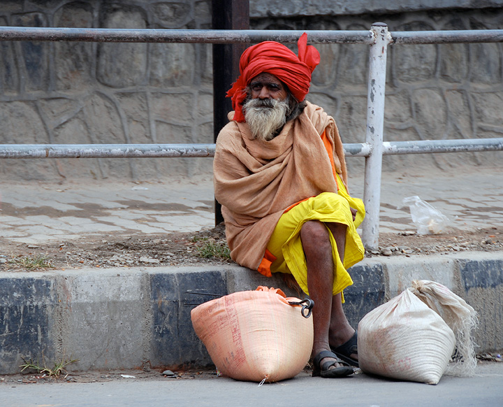
On our way out of town. |
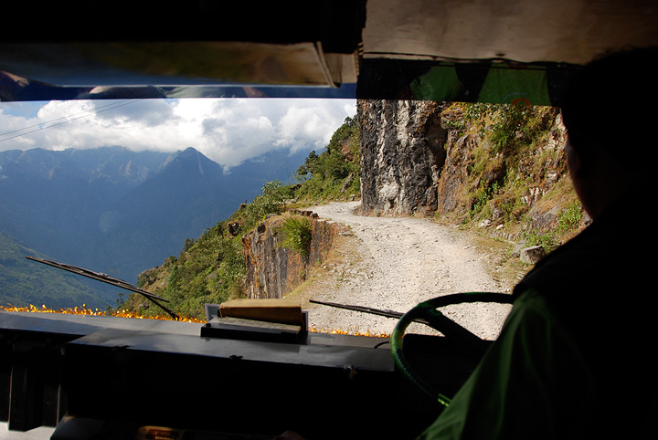
The final few hours were a very long sidehill as the road winds along the very steep hillside above the Trisuli river. |
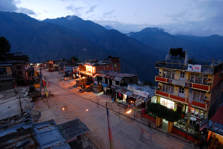
Finally, arriving in Dhunche, the start of our trek, and the location of our first night out from Kathmandu. We have heard rumors that the Chinese are planning on upgrading and paving this route into Tibet. This may increase traffic into the Langtang, but I doubt very much. |
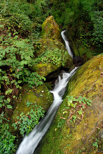
The first two days of the trek were warm and green. |
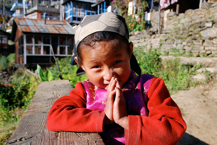
A young girl in Thulo Syabru, where we spent our second night. |
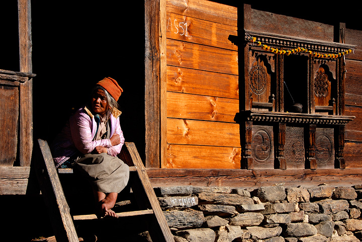
A Thulo Syabru local. This town has some very fine woodwork. |
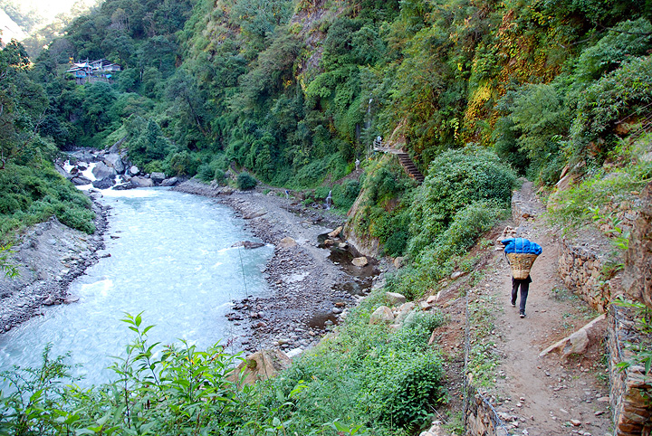
The following day, day two, we descend to the Langtang river, which we'll follow for some time. |
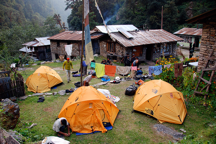
Our next night's camp, in Lama Hotel. There are a number of fine tea houses here, and we took advantage of hot the showers offered. For most of this trip, we used our own tents, with our staff cooking our meals in the local tea houses. |
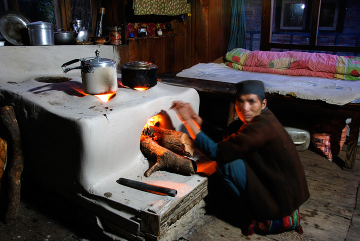
A beautiful earthen stove in Lama Hotel. |
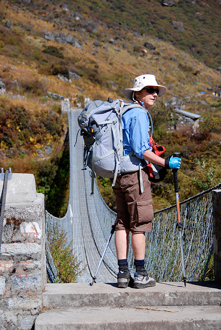
Pamela crosses a suspension bridge on the next day, as we climb up to drier and less densely vegetated altitudes. |

A view from the bridge. |

Drying the wash. Here we are not far below the town of Langtang, were we spent another night. |
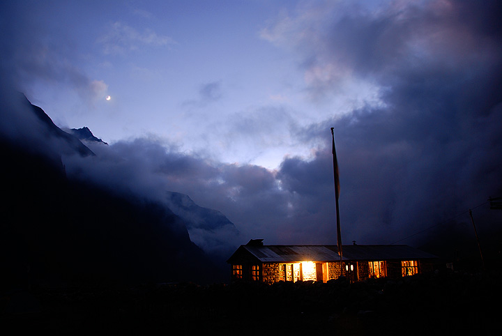
Moonset from Langtang village. |
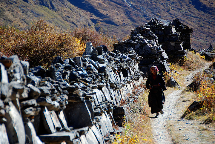
A long line of mani stones on the route to Kyanjin Gompa. |
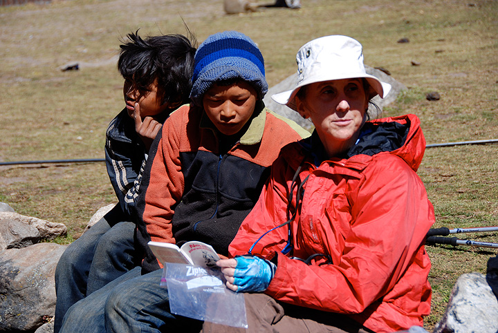
Pamela tries out her Nepali with the amused locals. |
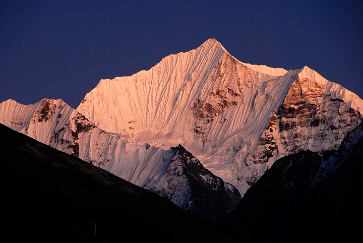
Gangchempo, a spectacular peak which dominated the eastern end of the upper Langtang valley. |
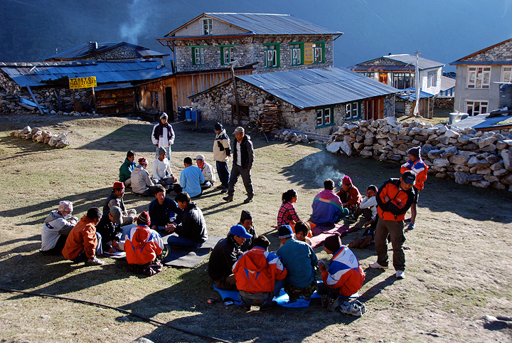
This is Kyanjin Gompa, where we spent a number of nights on this trip. This is the highest village in in the Langtang, and a final destination for many trekkers. It also seems to be the center of a card playing tournament among the locals. |
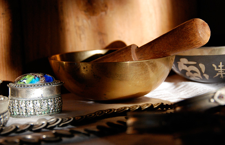
In Kyanjin we camped out in the yard of a local entrepreneur. Here are a couple items in her shop, where we also ate our dinners. |

Demonstrating wool spinning technique. |
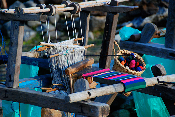
A loom in Kyanjin. |
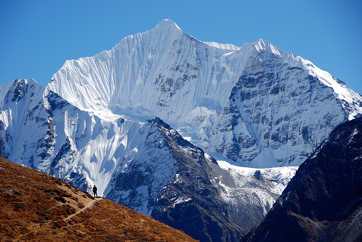
Another view of Gangchempo, this one from the hike up to Yala Peak high camp. |

Eroded rock near Kyanjin Ri. |
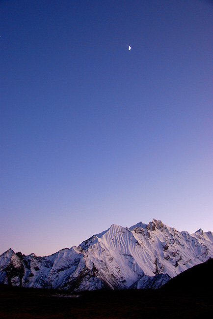
A view of Pangen Dopku, as seen from Yala Peak high camp. |
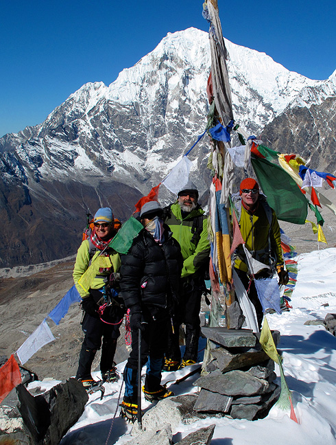
Yala Peak summit photo. |
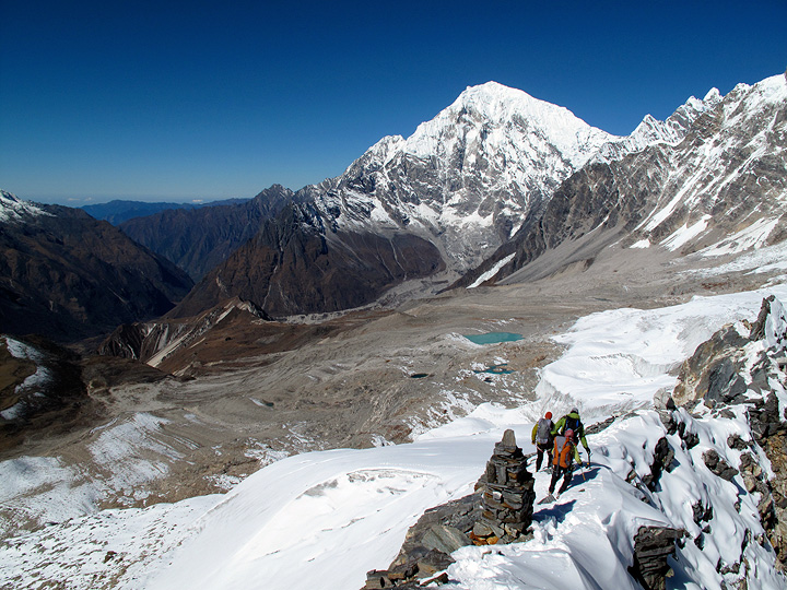
Kathy, Matt and Emery descending Yala Peak. Langtang Lirung is the big peak behind. |
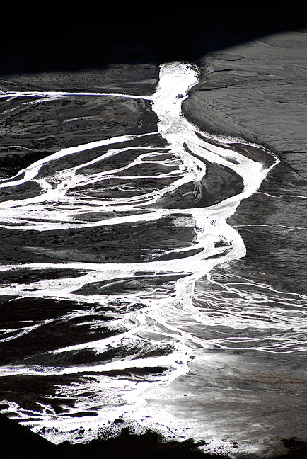
A view of the valley from the trek back down to Kyanjin after our climb. |
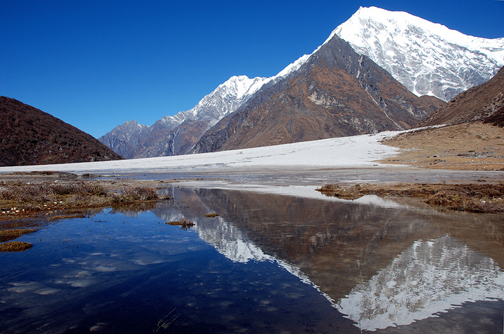
After another night in Kyanjin, our third in total (broken by one night at Yala Peak high camp) we trekked up to Langshisa Kharka, on our approach to Urkinmang. Along the way we pass a large wash out and small pond, reflecting Langtang Lirung. |
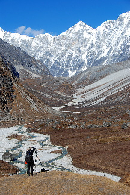
Almost to Langshisa Kharka, which is just down below to the left. Matt enjoys (and records) the incredible views towards the border with Tibet. |
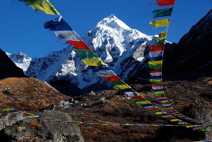
From Langshisa Kharka we got our first good view of Urkinmang. To be honest, the peak looked more impressive and beautiful than we expected. Our proposed route was up the righthand skyline. |
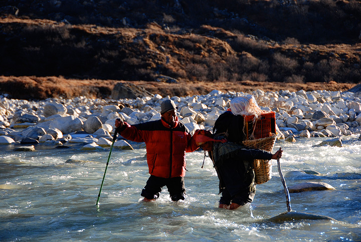
We put our camp on the "other" side of the Langtang river. Pasang helps a porter across the river. |
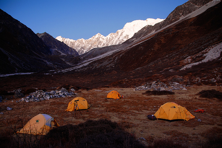
Our camp at Langshisa Kharka. Actually, we were not at Langshisa Kharka proper, but over on the less "developed" eastern side of the river. This was one of the best campsites I have had the pleasure to enjoy in Nepal. |
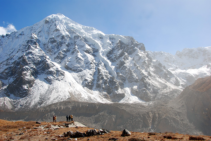
The following day we had hoped to reach a camp below Tilman Pass. Our hope was to use this camp as a base from which to stage both our climb of Urkinmang, as well as prepare for our crossing of the Pass. However, a number of factors suggested that we needed to revise our plans. One of the factors was simply the difficulty of crossing the glacier. In this photo we are looking across the Langshisa Glacier at Urkinmang. The Tilman Pass is hidden behind the right hand ridge of the peak. To reach the base camp and approach both the peak and the climb, we were forced to descend the steep and loose moraine and mud these porters, cross the loose and unstable rock-covered glacier, and climb the wall on the far side. Not so easy. |
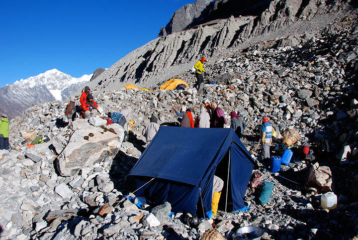
On the same day we left our comfortable camp at Langshisa Kharka, we climbed the northern (true right bank) of the Langshisa Glacier, then descended to the rubble covered glacier to camp (the only place we could find water). This was a tough day for everyone. At some point in the day (probably about the time they understood where Tilman Pass was located), the porters began to get nervous about the prospect of crossing it. In the end, they essentially refused. Perhaps they feared the unknown, or maybe simply knew very well what they thought was reasonable and what was not. I'd have to agree that it would not have been easy, and their equipment was arguable not up to the task. In any case we had to abandon our plans for a traverse of the pass. Another difficulty was simply crossing the glacier to reach Urkinmang. With the retreat of the big Himalayan glaciers, the loose rubbly lateral morainal walls on either side of big glaciers have become higher, steeper and, in general, more difficult and dangerous to cross. This difficulty and risk also weighed heavily on our minds. We had a difficult decision to make. With the pass crossing no longer an option, a number of our porters threatening to leave the expedition, the difficulty and risk of the glacier crossing, the potential for lots of deep snow getting to the pass and the start of our route on Urkinmang, together conspired to make us reconsider the wisdom of continuing our movement towards Urkinmang. In the end, we decided to abandon the attempt on the peak. |
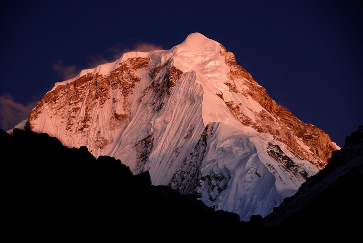
A view of Dorje Lakpa peak from our camp on the rock Langshisa Glacier. We spent one night on the glacier. |
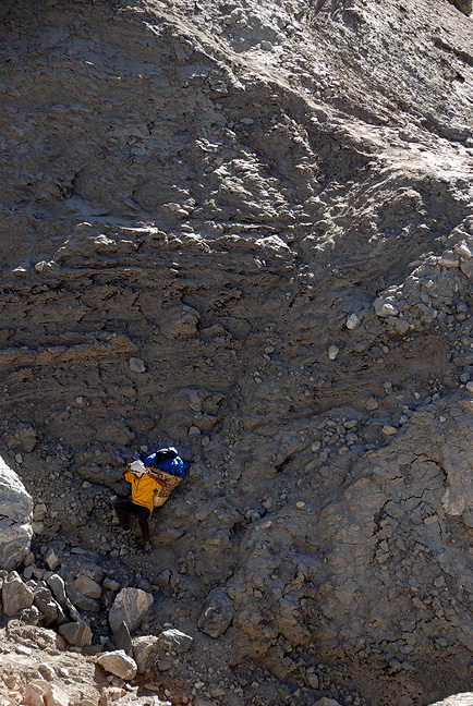
The following day we reclimbed the loose mud and rocks to get off the glacier and retreated to Langshisa Ri. |

Looking down at the Langshisa Glacier, and the difficult terrain to cross. |

We returned to Langshisa Kharka, where we spent two nights. |
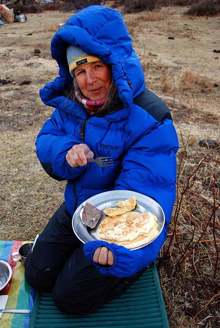
Kathy enjoys a chilly, but delicious breakfast. On the day between our two nights, we explored the route up the south (true left bank) of the Langshisa Glacier, just to convince ourselves that the route does not lie on that side. It didn't. |
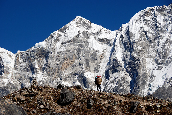
So, with a few "extra" days in our itinerary, we decided to explore further the Langtang Glacier, towards the border with Tibet. We had no idea how far we could get in this direction. We moved camp from Langshisa Kharka up to above what is known as Morimoto Base Camp. |
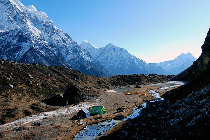
This was a great camp, very comfortable, incredible views, fresh water and no one else anywhere near. |
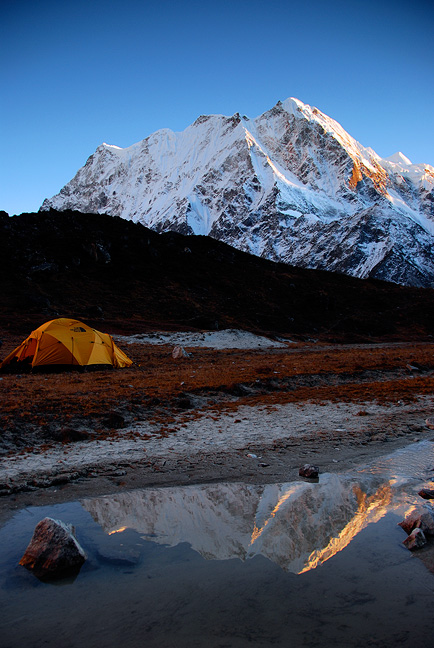
Looking towards Langshisa Ri from camp. |
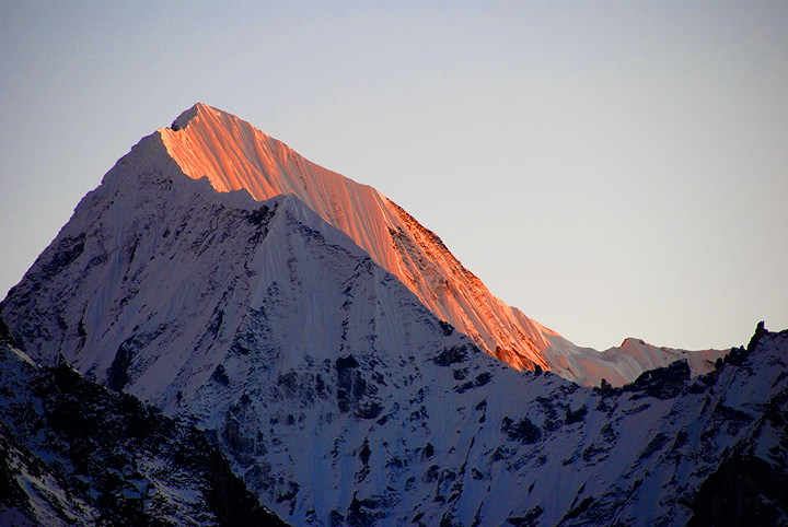
And sunset on Gangchempo. |
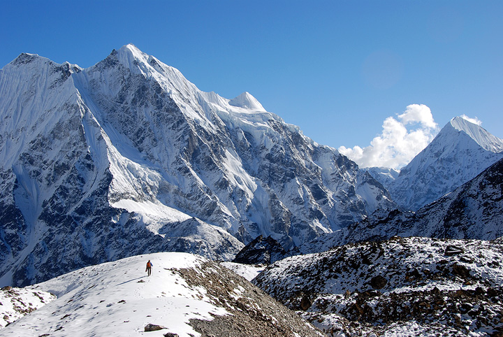
We spent two nights at this fine camp, with the day between exploring up-glacier, and up the hanging valley to the west of camp. This view of Langshisa Ri was taken from this valley. |
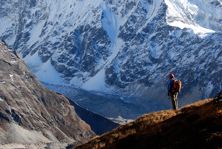
Another view from above camp. |
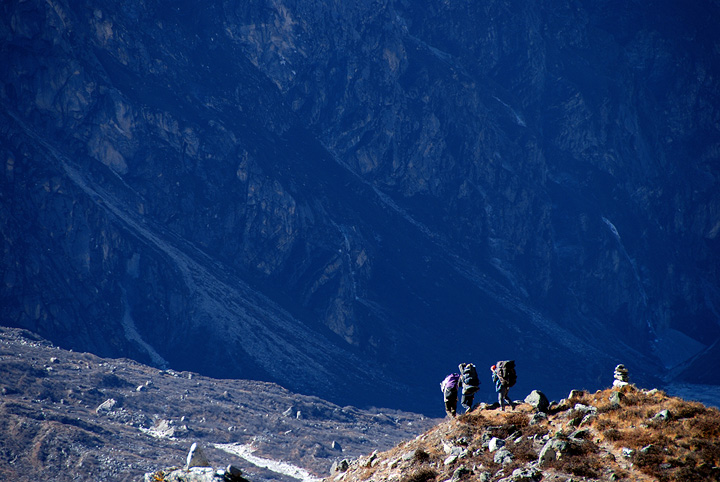
As part of our "new" plan, we were hoping to return to Kyanjin, then climb up over the Ganja La and trek back to Kathmandu. Here we are returning to Kyanjin. |
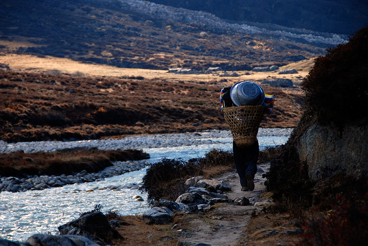
...getting closer... |

Camp at Kyanjin lies just on the other side of the big wash. |
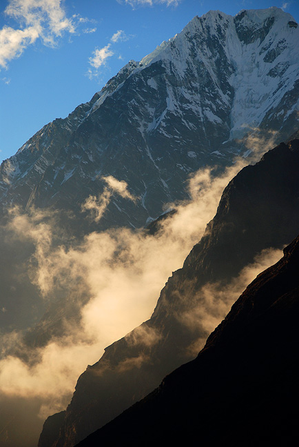
The view down-valley from near Kyanjin. |
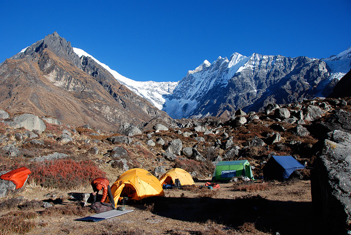
Our camp near Kyanjin. |
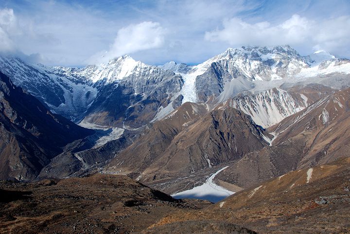
The climb up and over the Ganja La pass is made in several stages. The first is to move up to base camp some 500 meters above Kyanjin Gompa. |
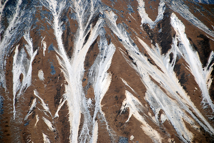
Looking across the valley at the hillside of Tserko Ri. The trail to Yala Peak high camp crosses this photo about a quarter the way up the image. |
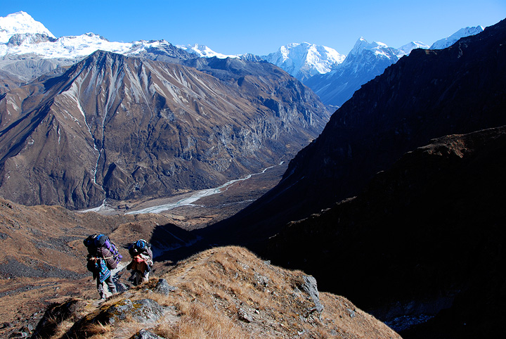
After a night spent at Ganja La base camp, we moved up to a high camp at about 4900 meters. |
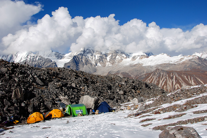
Ganja La high camp. From this camp, the porters and staff would climb up and over the pass, while the climbers (now Emery, Matt, Kathy and Mark) would start in the wee hours of the morning, climb Naya Kanga, descend, cross the pass and catch up with the crew. |
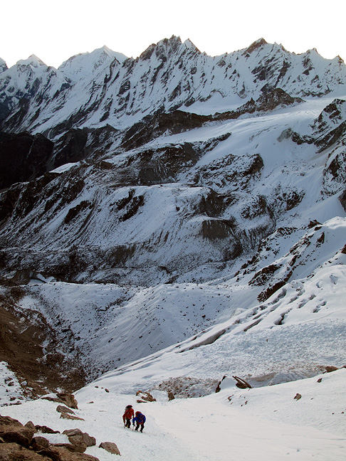
After sunrise, the view opens up. |
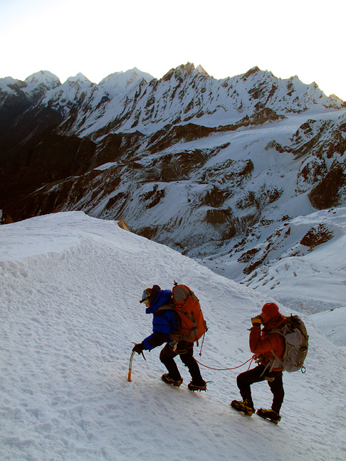
Emery and Kathy arriving at the base of the 800+ foot wall and crux of the route. |
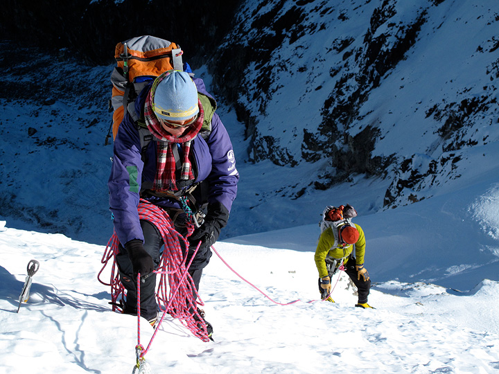
Kathy and Emery, part way up the 7 belayed pitches. |

And carrying on up the ridge above. |
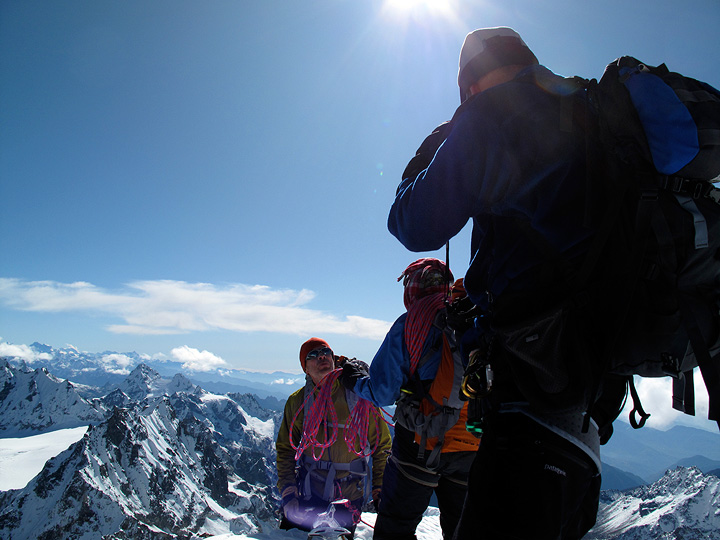
Our summit photo. Not much room up there. |

This is a "merged" image, taken from just below the summit. Mouse over for some labels. And you can click here to view a higher resolution version. |
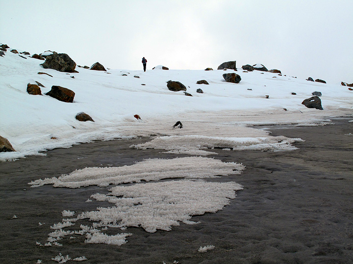
After our climb and descent , we crossed the Ganja La at 5130 meters (not so easy to climb back up those 100 meters or so to the pass proper) and descended another 500 or so meters on the south side to finally catch up with our tents and staff. A big, but rewarding day. |
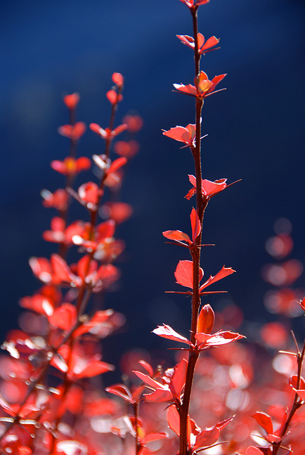
The following day we began our trek out to the south. |

Our hope was to camp near a location called Dhukpu Kharka, shown here. Unfortunately, there was no water to be found and we had to continue for some distance, and almost in darkness to find a suitable camp. |
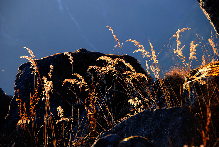
Grasses on the trail. |
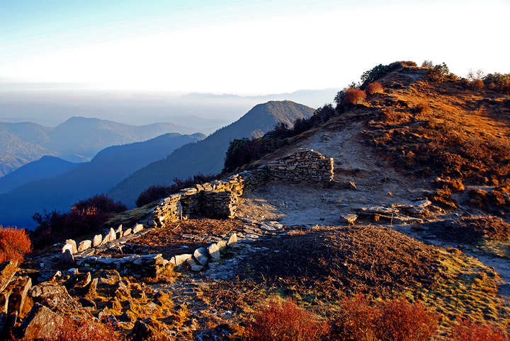
The remains of an old kharka. Still no water, with the sun sinking in the west. |
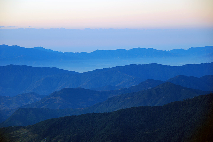
Looking out towards India. |
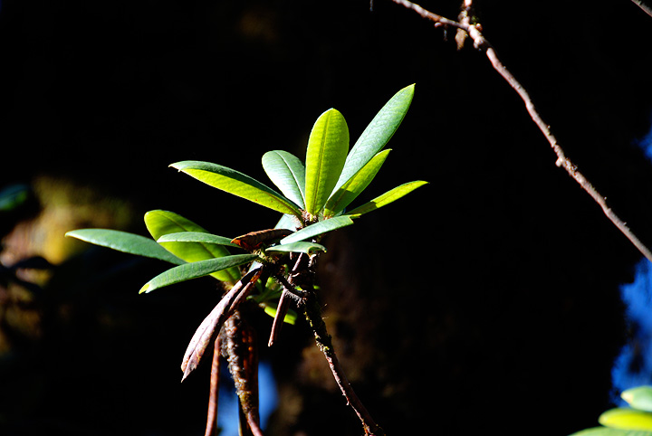
Entering the rhododendron forests or warmer elevations. |
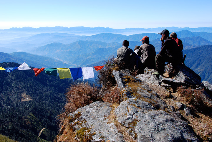
The trek out took us over Yangri Peak, a fantastic viewpoint. |
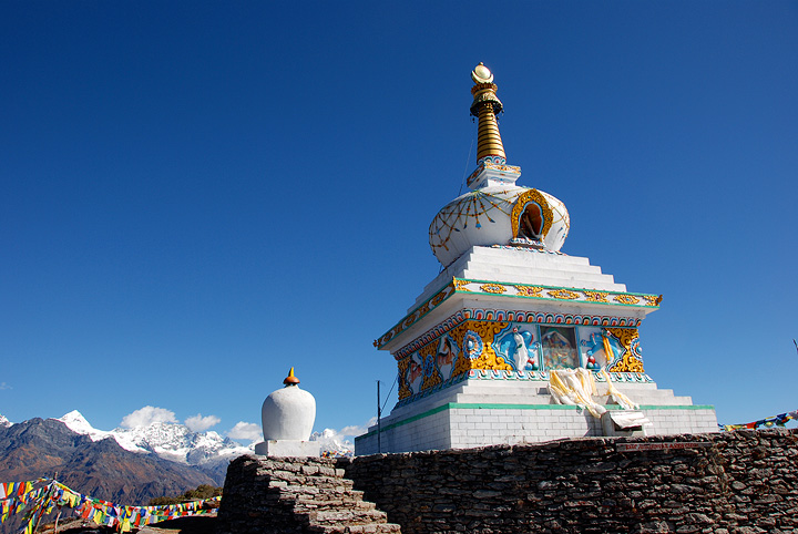
The stupa on Yangri Peak. |
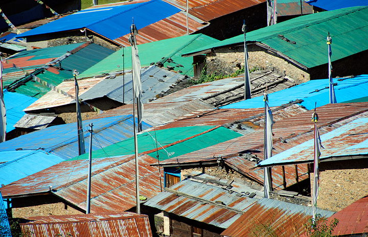
We trekked from past Tarkeghyang (where we had a fine lunch) and continued onto the crossing of the river below. |
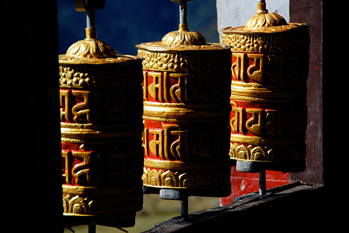
Prayer wheels at the monastery in Tarkeghyang. |
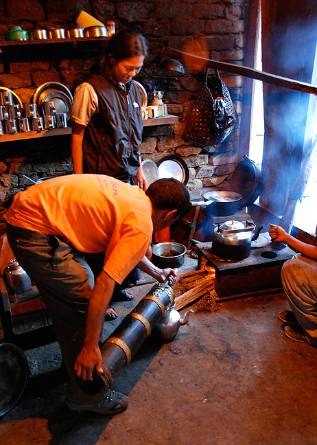
Pasang prepares Sherpa tea in the Riverside Lodge. |

Riverside Lodge, and our home for a night. |
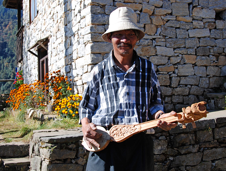
The following day we trekked up pas Melamchigaon. We stopped for tea at the home of a local artisan, a guitar maker. |
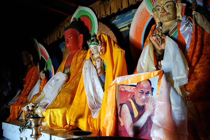
Bhuddas (and His Holiness, the Dalai Lama) in the monastery in Melamchigaon. |
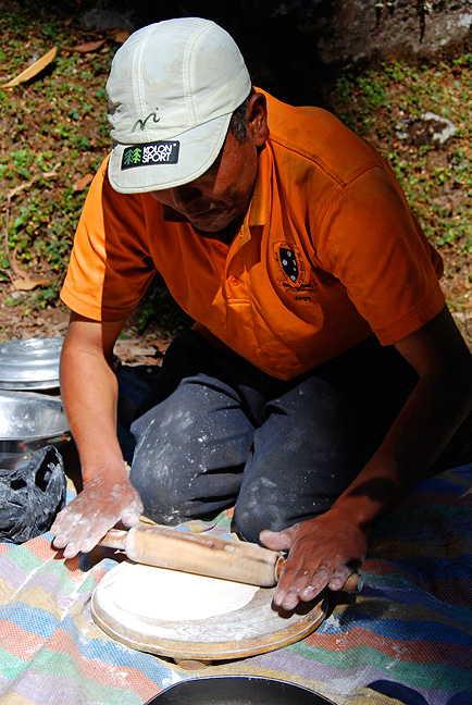
Lakpa rolls out chapatis for lunch on our way up to Tharepati. |

Tharepati, where we spent the night, at sunset. |
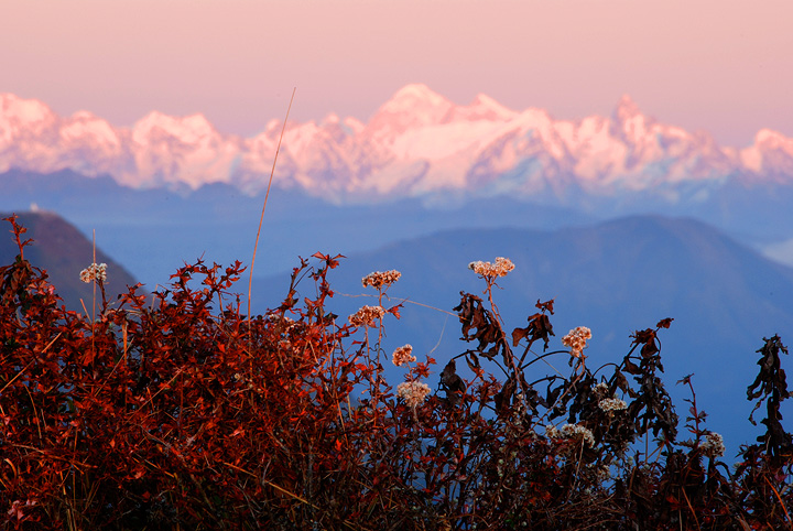
Looking towards the mountains from Tharepati. |

Reentering the world of plants. |
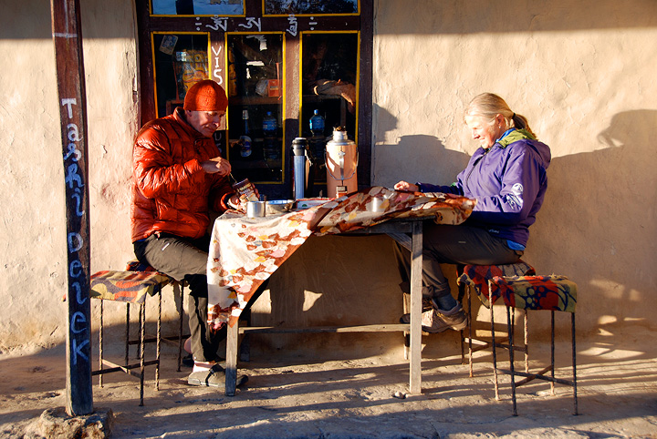
From Tharepati we still had three more days of trekking to reach Kathmandu. On the first of these we reached a lodge a bit south of Kutumsang. Emery and Kathy enjoying afternoon tea and biscuits. |

Matt inspires a would-be movie star near camp. |
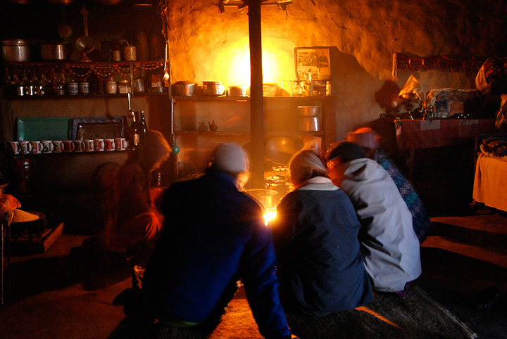
Inside the lodge, the porters gather around the fire. |
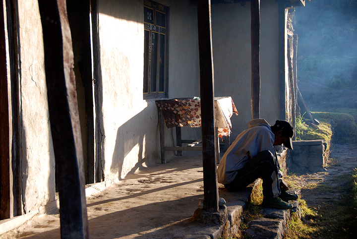
The following morning, a porter waiting for his load to be readied for carrying. |
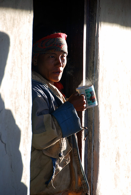
The proprietress of the lodge, having her morning tea. |
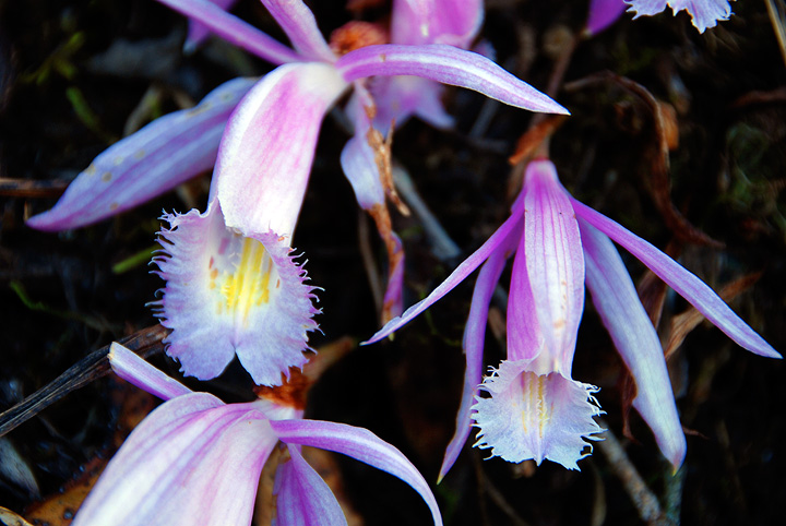
As we descend further south, we found occasional orchids by the side of the trail. |
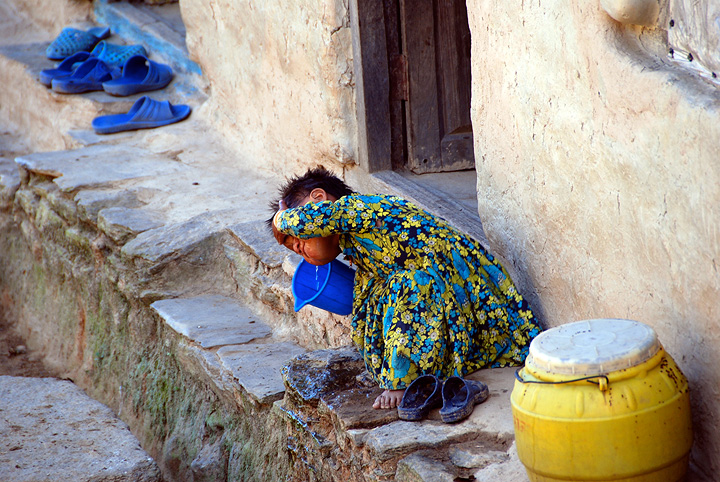
Hair washing. |
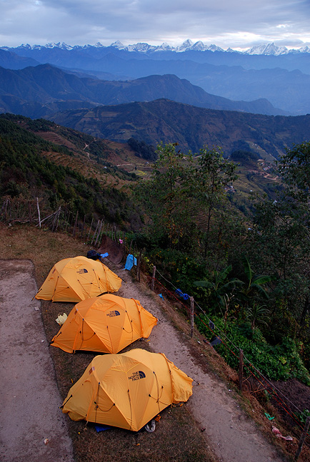
Our last night before reaching Kathmandu was spent in Chisopani |
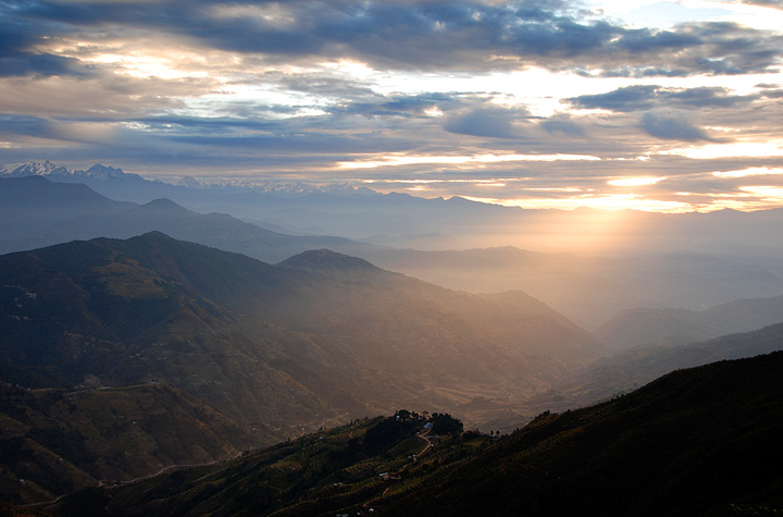
Sunrise from Chisopani. |
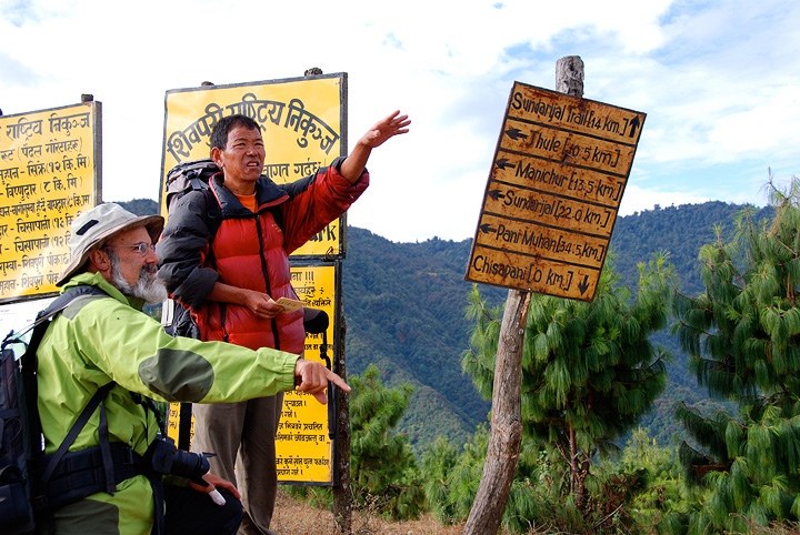
Matt and Pasang try to identify the mountains to the north. |
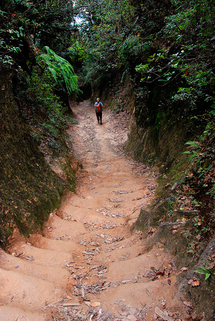
The trail from Chisopani to Sundarijal. |
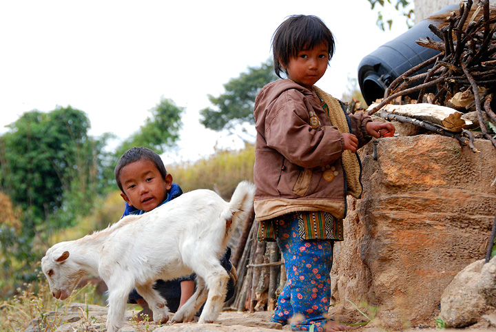
Kids. |
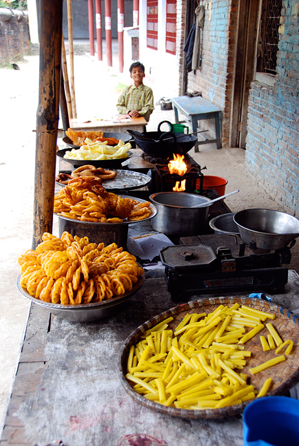
Arriving in Sundarijal, we are back in civilization, and fast road-side food. |
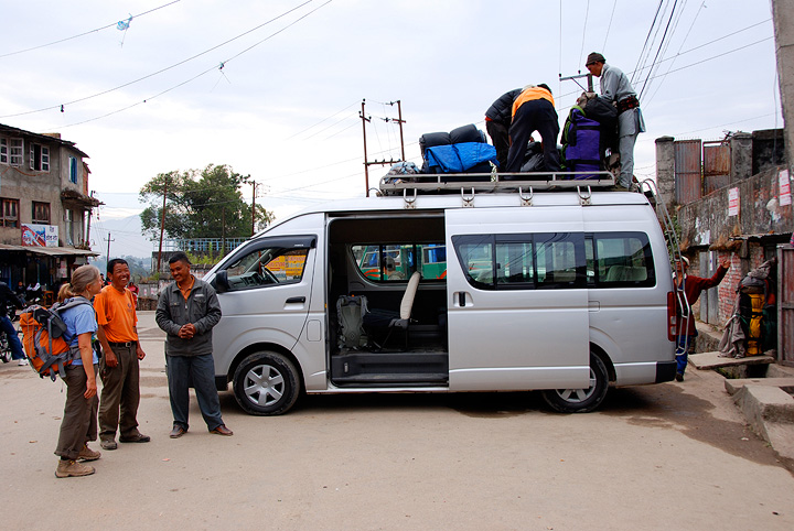
Our van awaits us in Sundarijal. We are only a short 12 kilometers from Kathmandu. |
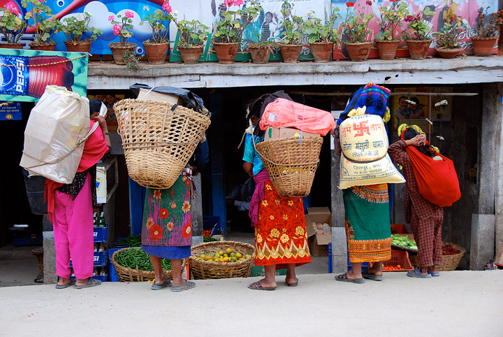
A family shopping excursion. |
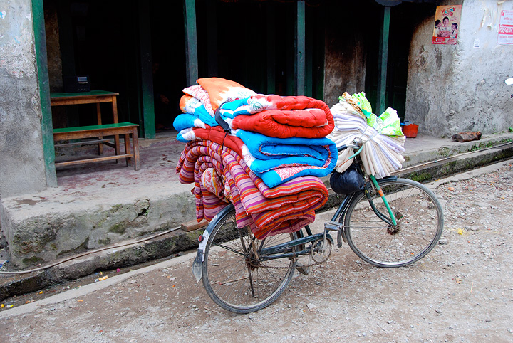
Room for a driver? |
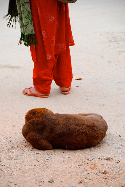
Sleeping dog. |
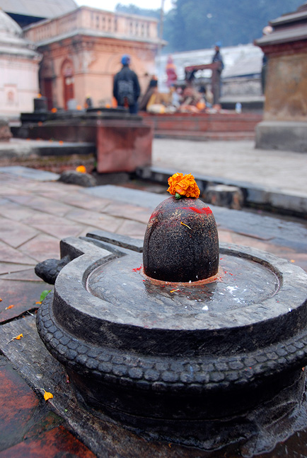
Early one morning back in Kathmandu, we spent a few hours before breakfast exploring Pashupatinath. This is a primarily Hindu temple dedicated to Lord Shiva. There are extensive grounds and some very interesting buildings and various goings-on. |

The sacred Bagmati river runs through Pashupatinath. Many believe it is highly desirable to bathe ones feet in the river before ones death. And, in fact, a good Bagmati foot bathing is also part of the normal process of cremation, for which Pashupatinath is also known. These little terra cotta pots, called diyas, hold oil and burning wicks and are commonly used during special occasions, such as the cremation of important figures. |
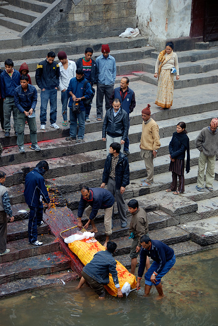
Bathing the feet in the Bagmati River. |
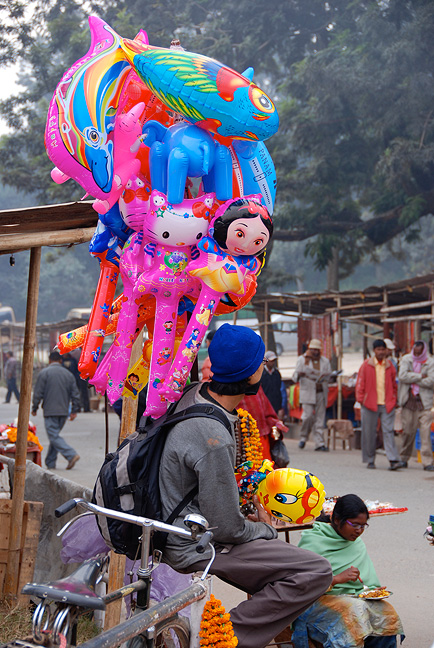
Items for sale near Pashupatinath. |
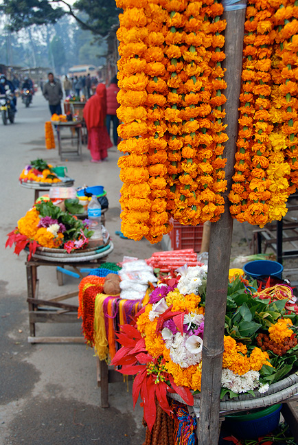
Marigold garlands are a very common feature of the celebration of Tihar and are seen everywhere. |
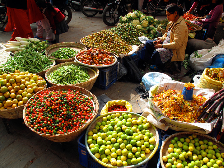
Fruits and vegetables for sale in Kathmandu. |
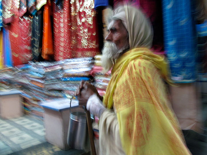 |
All images, layout and text ©2009 Cosley & Houston Alpine Guides, All Rights Reserved